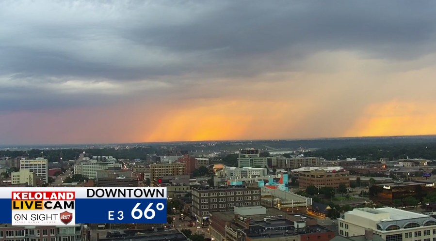
SOUTH DAKOTA (KELO)– Good morning KELOLAND! We are tracking scattered showers and thunderstorms this morning across the southeast. You can see some of the rain on our Downtown Sioux Falls LIVE Cam.

You can see how the morning scattered rain continues to track to the southeast.

Most locations have missed most of the rain, but a few streaks in eastern SD and western MN have picked up .50″ to 1″.

The map below shows a couple of examples north of Sioux Falls.

Much of this rain will drift south and fizzle before Midday. We may spark a few new isolated cells east of Sioux Falls later today.

Temperatures will be warm today, but much hotter weather is just around the corner. You’ll see more 90s building in western SD on our hour-by-hour forecast below.
Hotter weather for the weekend looks likely, but will it stay dry? Watch this video for the possible storm threat lurking just to our north and east.
The maps below show highs for Friday, Saturday, and Sunday. Stay cool the best you can!


Here are the details of the forecast.


