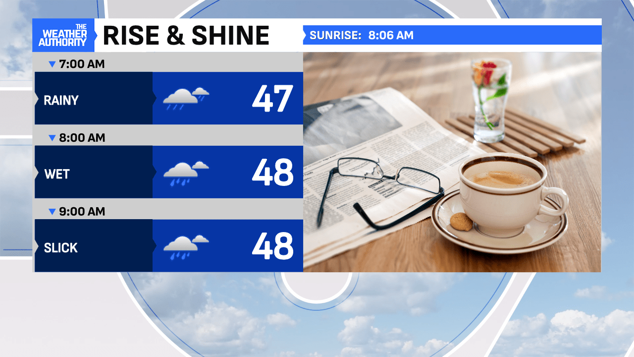
Areas of steady rain will take us through the remainder of morning with additional scattered showers through the afternoon, even some lightning, as the low tracks across the state. Temperatures are solid, while holding in the middle to upper 40s out-the-door. Mild for this time of the year!

This afternoon, colder air will begin to wrap into the area, as winds turn gusty and temperatures begin to fall gradually into the lower 40s by 4:00pm. Winds could peak at 40 mph in spots through the early evening but remain gusty through the overnight too.


Tonight, scattered rain showers will linger, as colder air continues to slip into the area! This will result in a rain/snow mix at times, as temperatures fall into the middle to upper 30s by midnight. Roads should remain wet through 1am before some patchy ice could form up overnight and into early Wednesday morning in spots. Only minor, grassy accumulations will be possible in a few counties up north.


The new year will bring a colder flow beginning tomorrow, with a few lingering flurries at times. Overall, blustery and winterish to welcome 2025!

Ahead we are tracking a possible clipper for Thursday night and into Friday morning. This could bring a light, powdery snow to our local roads with early estimates of accumulations up to 2″, in spots. Look for more updates on this tomorrow morning and Thursday before it arrives. Just a heads up that Friday morning could be quite slick.

Another snow system could develop on Sunday and into Monday but way too early to call its track just yet! A lot noise being thrown out on social media already for clicks, its just what it is nowadays! Check back for updates daily, as the pattern becomes busier the next couple of weeks!


