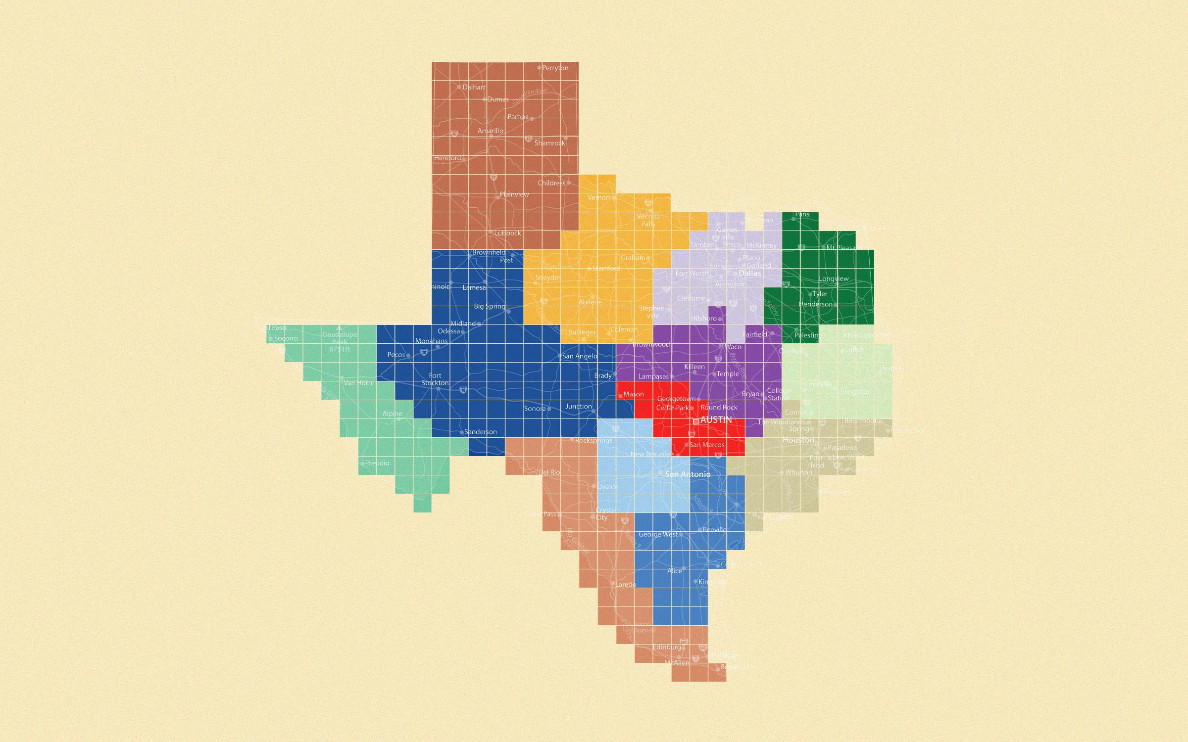
In Austin, just north of our imposing pink granite seat of government, inlaid on the new Texas Capitol Mall, is a large map of the state. Visitors to the promenade can walk across seven geographical regions, strolling from the Panhandle Plains, in the north; to Prairies and Lakes, in the north-central area; to the Piney Woods, in the east; to the Gulf Coast and the South Texas Plains; and from Big Bend Country, out west, to the Hill Country, in the middle-ish part of the state.
Travel Texas, the state’s tourism office, uses the same seven regions in the way it divides the state. And Texas Parks and Wildlife seems to follow suit, though it spells “Piney Woods” as one word. But this particular convention, despite being etched in concrete on the Capitol Mall, is not by a long shot the final word on the matter. For instance, the Texas Almanac simplifies the division into just four physical sections: the Basin and Range Province, the Great Plains, the North Central Plains, and the Gulf Coastal Plains. Other groups tend to use a simpler, semi-cardinal approach: North Texas, East Texas, South Texas, West Texas, Central Texas, and the Panhandle. And then, too, you’ll find all sorts of jumbled combinations of the above, sometimes with familiar subregions such as Cross Timbers, deep East Texas, far West Texas, the Rio Grande Valley, the Trans-Pecos, and so forth. Texas’s comptroller of public accounts divides the state into a dozen economic regions, among which are the Alamo region, the Capital region, and the Metroplex region. The Texas Wine & Grape Growers Association splits the state into five regions. All of these entities, of course, have their own interests and motives in mind and will therefore see the state differently.
But no matter how you cut Texas up, no depiction is without its own faults, and, therefore, no depiction is without its detractors. Is Odessa really in Big Bend Country? Is Midland, for that matter? And El Paso?! Del Rio, just like Austin, is in the beautiful Hill Country, right? Wait, what? Both Gonzales, southeast of Austin, and Nocona, to the north and west of Dallas, are in the Prairies and Lakes region? They’re 330 miles apart from each other! Come on, now.
Texas is a very big place. It’s also a very diverse place. So big and so diverse, really, that it’s hard to fathom in monolithic terms. Thus, we naturally want to divide the megalith into more fathomable units. But how, exactly, to best go about this?
For once and for all, Texas Monthly intends to right some wrongs and straighten out the unstraight. But first, we’d like to ask a few questions of you. Please take a moment to offer your input via the quiz below. We’ll use your feedback to, at long last, create the ultimate, definitive, and wholly unassailable (fingers crossed) map of the regions of Texas.