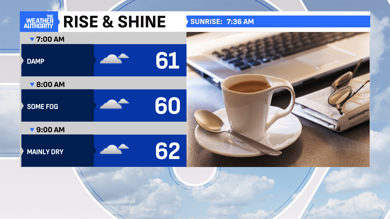
Skies cleared in spots overnight, as the rain has taken a break and temperatures have settled into the lower 60s. Expect a fairly quiet start this morning with light winds and clouds returning at sunrise, as roads continue to dry out.

A lot more dry space today is expected with only a few passing showers in the mix (mainly between 2 p.m. to 6 p.m.), allowing for more work activity to be conducted outside. Although heavier cloud cover is anticipated, some sun should work in, too! Afternoon temperatures should reach the middle 70s, marking another seasonal day.

Thursday still looks dry and milder with highs nearing 80° under increasing clouds–the best of the week!

Helene is going to be a powerhouse hurricane, rapidly deepening over the next 24 hours and quickly moving north striking the Big Bend of Florida by Thursday night. Once on land, the speed and track could bring it quickly into the Ohio Valley by Friday afternoon with stronger gusts and heavier rains, especially for the southern half of Indiana. Stay tuned for more updates in the next 2 days on the track changes and rainfall potential.


