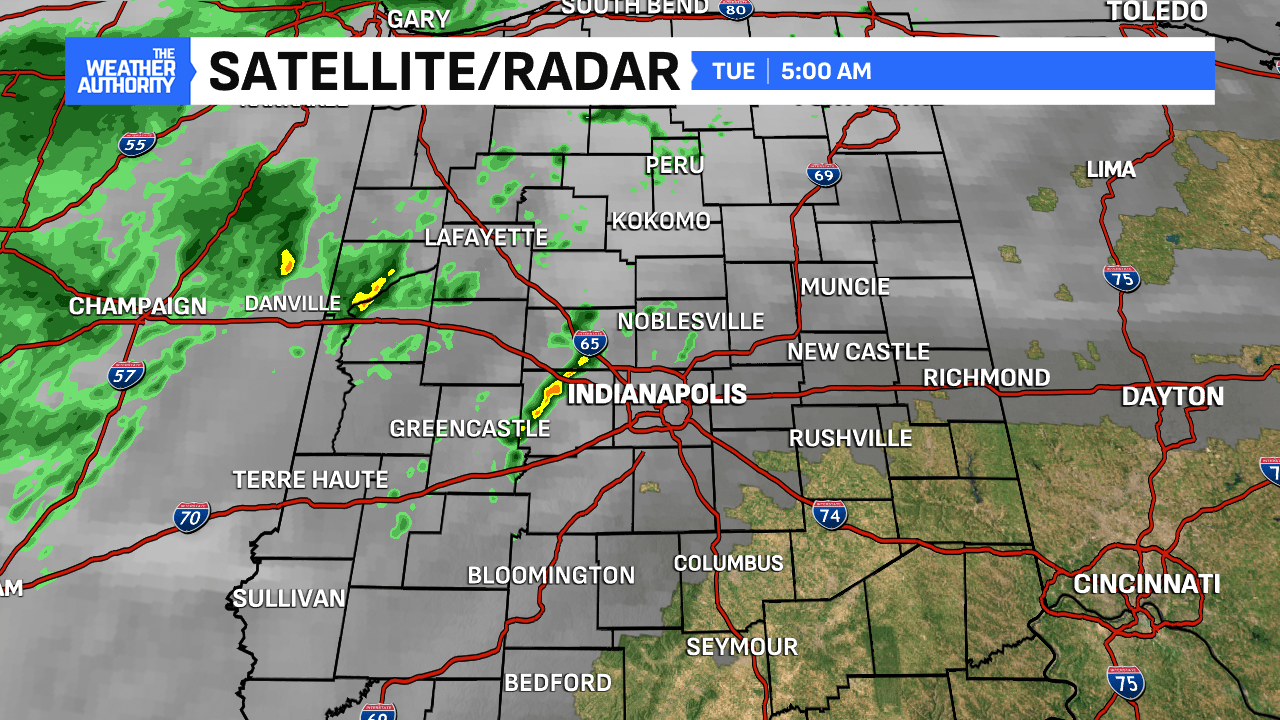
Off to a warm start with temperatures hovering in the middle 60s, while a few, spotty showers are quickly moving across central Indiana. Expect drier conditions to build in by mid-morning and through the early afternoon.


A windy and very warm day ahead with gusts from the southwest at 35 mph. Nearing record highs should be expected with a forecast high of 75°, the record is 76° setback in 2015. Expect a lot of dry space today from 8am through 5pm in the central part of the state. This should make for a really good day of voting before the heavier rain arrives after sunset (5:38 pm), with polls closing at 6pm.


Rainfall tonight could range between .25″ to .50″ in spots, providing a decent shot, helping in the drought striken areas from the dry month of October. Most rainfall will move into Ohio by sunrise tomorrow (Wednesday) morning.

Rest of the week will remain dry and back to near seasonal levels with mixed clouds and sun. Next rain chances should not come into play until Saturday evening.


