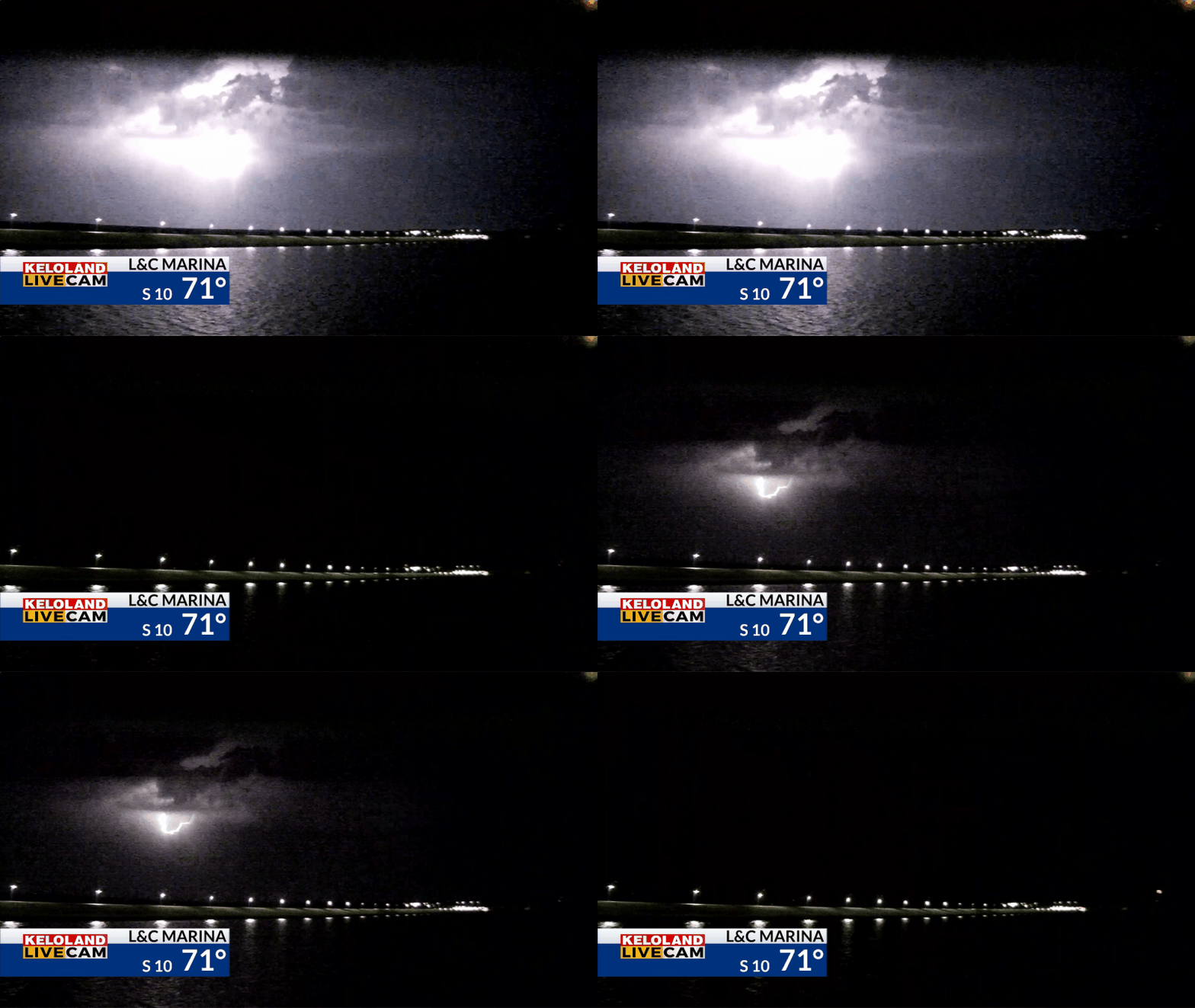
SIOUX FALLS S.D. (KELO) — Isolated showers and thunderstorms have developed overnight and this morning in KELOLAND. We captured a few lightning strikes on our Yankton LIVE Cam at 5:30am as shown below.

You can see a few additional scattered showers and t-showers moving across the region. The rain will remain isolated, but we’ll still expect some lingering activity through the morning.

It will be a warm afternoon in the Sioux Falls area, with our day planner shown below.

On Futurecast, you can see the remaining showers this morning moving east, giving way to a very warm afternoon. Stronger south winds will develop tomorrow in western SD and temperatures will be very warm once again.

Dry lightning could be a problem with any thunderstorms that develop in western SD tomorrow afternoon. You can see the humidity forecast late in the afternoon is 15-20% in that area.

Stronger winds tomorrow will be followed even more wind on Thursday. In fact, wind gusts over 40mph are likely Thursday afternoon for the areas shaded in red on the map below.

Temperatures are going to remain above normal the next several days, with drying trends in the forecast for much of the extended forecast.

The extended forecast still looks dry across the region. We’ll have to wait for a more significant trough to develop to our west and that could take several days.

Here’s a closer look at the forecast.


