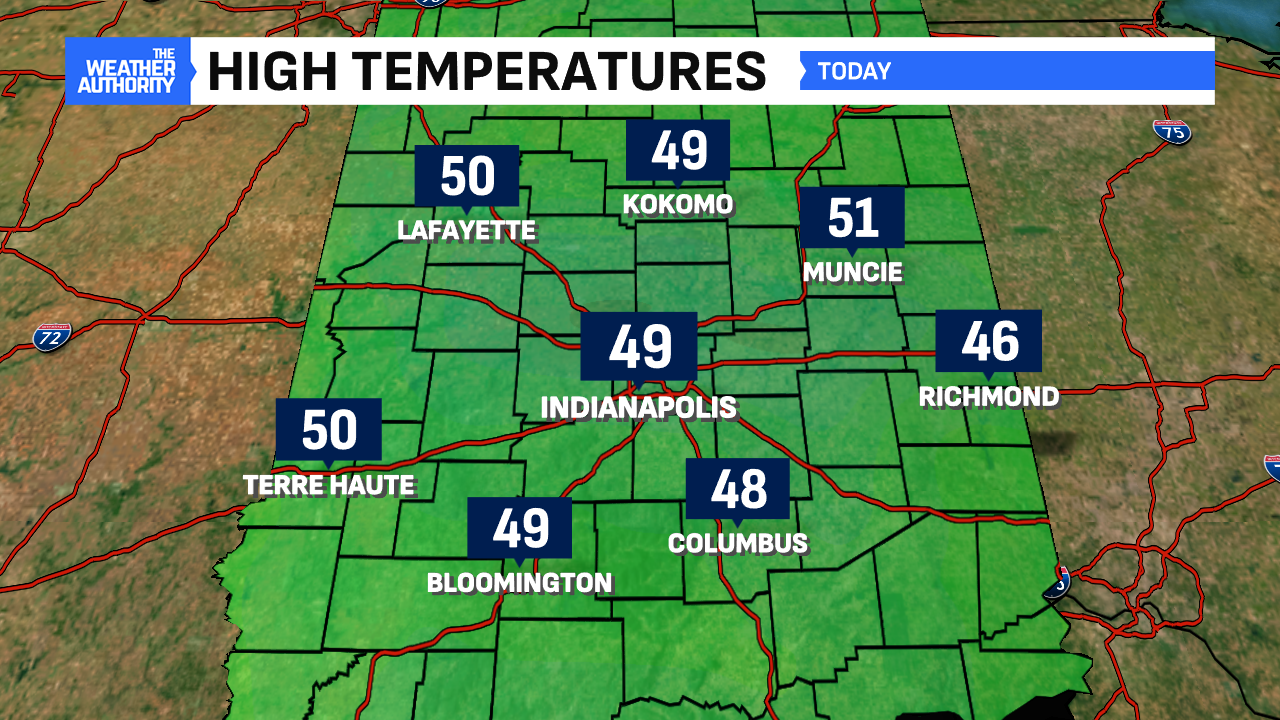
Our coldest day since April 5th is behind us as Indianapolis reached 49° for a high temperature. The clouds kept a “lid” on temperatures with temperatures and the air both not budging today and tonight.


Clouds will hold to open Saturday but we may see a few breaks in the clouds during the afternoon. High temperatures will start to rise back to above-normal territory in the upper 50s. Temperatures will continue rising for Sunday getting into the lower 60s in many hometowns.


Warm start to next week before coldest air since February
Ahead of a weathermaker for the middle of the week, the rising temperature trend isn’t done yet. We’ll potentially approach highs 15-18° above normal for this time of the year. Tuesday calls for highs in the upper 60s once again. Ahead of a frontal passage, winds will pick up and gust potentially between 30-40 mph that day.

This will be the last of the mild trends before the changes. As of this writing, Indianapolis is running as the first warmest year to date since January 1, 2nd warmest to date since September 1 (fall) and 5th warmest month to date since November 1. Temperatures will fall starting Wednesday bringing the first freeze and snow potential for Indianapolis.


Our first snow showers of the season could arrive with this change, too. The chances are low. If this happens, it would be the late Wednesday and Thursday timeframe. Thursday’s forecast high of 37° is the coldest high since February for Indianapolis.


