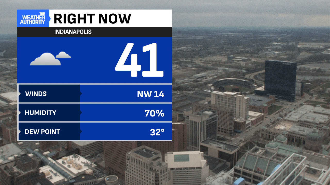
The last day of March has taken a 180° flip from what we saw over the weekend. Cloudy skies have stuck around all day long and with a breezy NW wind, temperatures have stayed steady in the lower 40’s.

Tonight will feature a chilly night with lows falling into the lower 30s with clouds decreasing.

We will start the first day of April on a chilly note with mostly sunny skies. Clouds will start to move back in as we head into the afternoon hours, but we will remain dry! If you are heading to opening day at the Vic, grab the jacket, as temps will be sitting in the mid-50s.


Unsettled weather returns on Wednesday, and storms are expected to sweep across the state Wednesday night. The line of storms could be strong to severe with all modes of severe weather in play. This will be something to watch over the next few days.


Rain chances will continue for the rest of the week, with a few days producing heavy rain. A flood watch will go into effect Wednesday night and will last through Sunday night.


