Posted:
Updated:
What a beautiful Saturday it turned out to be as highs climbed into the mid-70s under a mostly sunny sky. We will remain dry the rest of the night with lows falling into the mid 40’s.

A few sprinkles will be possible tomorrow morning as you head out the door for Easter Sunday. We will see a good amount of dry time around your lunchtime and early afternoon hours.

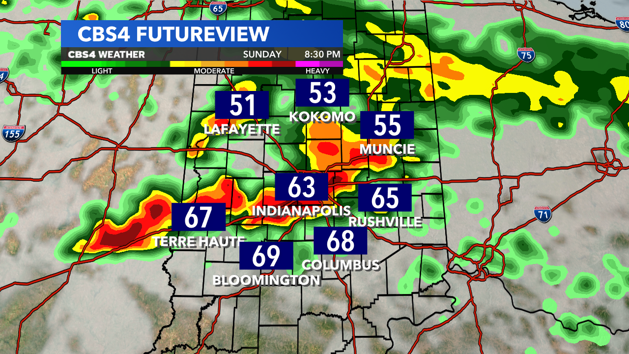
Sunday night: A cold front will be positioned over Central Indiana around 7 pm and a few storms are expected to fire along the front. A few storms could be on the strong side so because of this, the SPC has put us in a slight risk for Easter Sunday.


The primary concern will be hail and damaging winds but a brief spin-up can’t be ruled out.


This will just be the start of several rounds of storms for us. Storms could continue into the overnight hours Sunday into Monday. Expect to have off-and-on storms Monday and any storm could be on the strong to severe side. Again, Winds and hail will be the primary concern, but a brief spin-up will be possible.


