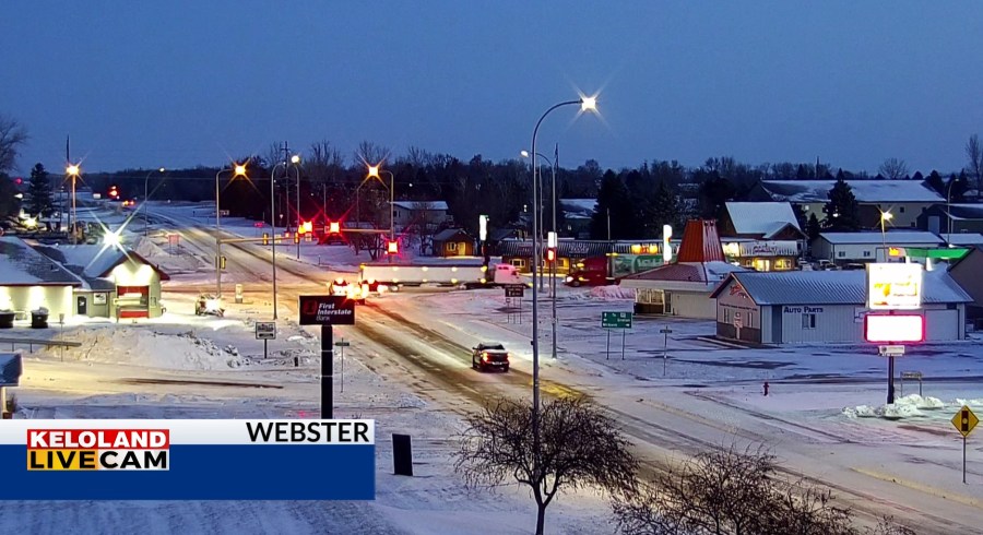
SIOUX FALLS, SD (KELO) —It’s a cold start to the morning across KELOLAND and more cold air is ahead in our forecast. We picked some snow last night, mostly a nuisance variety. You can see some of that on our Webster LIVE Cam as of 7am.

Here’s a look at the radar review from last night. Most of that snow fizzled west of Sioux Falls.

This map shows the snow accumulation from last night. Hot Springs is reporting 1″ of snow.

Futurecast shows the cold today with highs mainly in the upper 20s and lower 30s this afternoon. NW winds will decrease and become light overnight. The weather should slightly warmer and remains dry for much of the region.

Beyond that, Wednesday and Thanksgiving will start to cool. You can see the highs for Thanksgiving below in the 20s and 30s for much of KELOLAND.

Most of the snow chances this week look light, with a 30% chance of light snow on Wednesday in the southeast. Keep in mind this NW flow pattern will be harder to time as we head toward days 5-7. Some light snow could return by Saturday, a trend we’ll watch through the week.

A little snow could go a long way toward ensuring we get some real cold for early December. We are watching a frigid airmass just to our northwest and that could bring us temperatures some 20 to 30 degrees below normal early next week. In other words, below zero weather is on the table…stay tuned.

Here are the details of the forecast.


