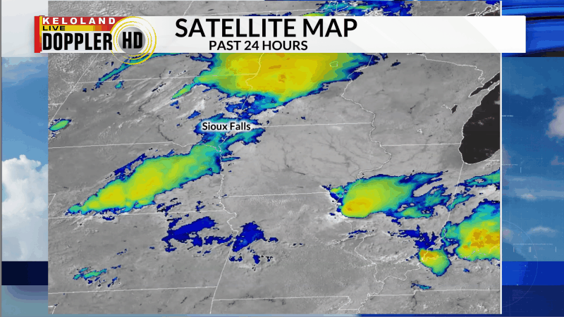
Good morning KELOLAND! Numerous areas of storms rumbled across KELOLAND yesterday. You can see the various storms on the Midwest satellite animation below.

Many of the storms produced heavy rain, including this one in Brookings.
Here are the storm reports across KELOLAND the past 24 hours.


You can see the rain reports on the map below. Brookings ended up with 3.65″.

The weather will be less humid East River today. High temperatures will stay in the 80s east, with mid 90s west. We’ll see warmer conditions for Friday with highs soaring to 100 or higher in far western SD. Expect partly cloudy skies and low chances of rain for now.

Here are the details of the forecast.


The next chance of rain will enter the picture late Sunday into Monday. Cooler weather is looking likely in the extended forecast, with 70s possible for highs just beyond the 7-day forecast.
