SOUTH DAKOTA (KELO) — Overnight thunderstorms have delivered heavy rain to central KELOLAND. Flash flood warnings were posted for the Pierre area overnight due to local totals over 2.5″.

You can see how the batch of rain continues to move east.
For a closer look at our real-time radar view, check out this link to KELOLAND LIVE Doppler HD. https://www.keloland.com/weather/interactive-radar/

We are also working on the latest rain totals coming in across KELOLAND. Here are a few of the numbers as of 5:45am in central SD.

We also saw locally heavy rain in the northern Black Hills region last evening, with local totals over 2″.

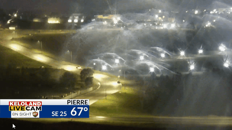
Strong southeast winds are also making an impact across central KELOLAND.

Our short-term forecast shows scattered showers and thunderstorms continuing across eastern KELOLAND today. You can see the general trends shift the rain chances to the southeast into western Iowa through the afternoon and evening.

Hot weather will return to western KELOLAND today, while the clouds and rain chances will keep temperatures cooler East River. Here’s a look at your forecast.


Rain chances will ramp up again on Thursday and Friday across eastern KELOLAND. Hot and humid weather is LIKELY this weekend.
