SIOUX FALLS, SD (KELO) — Welcome to October, where seasonable temperatures are here today and gone tomorrow.
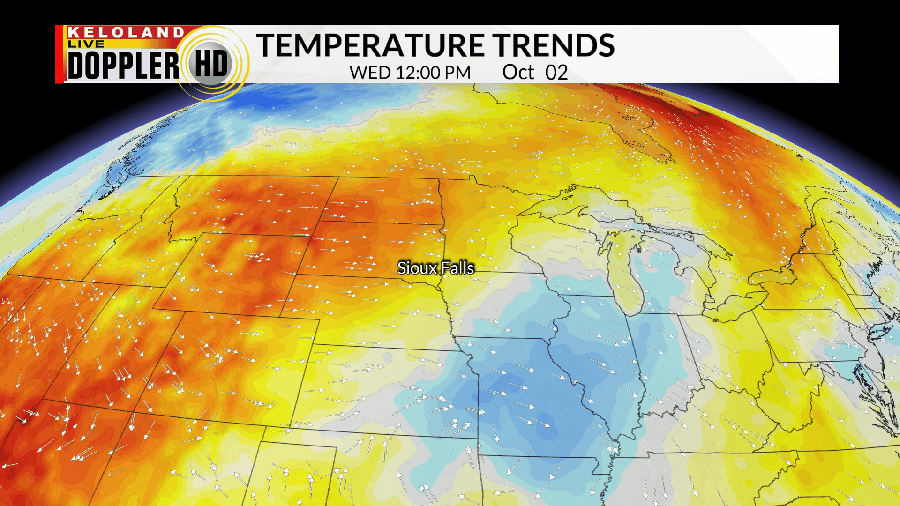
In fact, above average temperatures are favored not just through the rest of the week and into the weekend…but also well into next week for that matter. It’ll be a matter of what day is warmer vs what day is a bit closer to average. While most of the days ahead are in the 70s, every few days we’ll get the temperature to spike into the 80s ahead of an approaching frontal boundary.


While that typically would also come with talk of rain or storm chances, that simply won’t be the case. We have a lot of dry weather on the way, and it won’t be going anywhere any time soon. A few models try to hold out hope for a few passing showers near/north of US Highway 12 Thursday night, but that’s really it…and even then it won’t be much of anything to write home about.

A large ridge of high pressure will be what keeps us mainly dry and also keeps the moisture feed in the “off” position. As long as this pattern remains in place, we won’t see much if any change in our forecast. As a result, we’ll continue to play the waiting game for something to change.
Also worth noting is that this plays directly into something else that will likely be a daily occurrence in one way or another: Fire weather concerns. Red flag warnings remain in place for the rest of the evening for the western half of KELOLAND, and I don’t see these concerns going away any time soon.

If anything, we’ll likely see them push eastward as drought conditions worsen on both sides of the river.

Here’s a look at your extended forecast:


