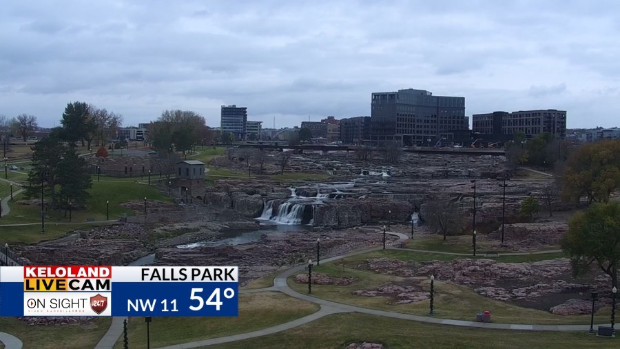
SIOUX FALLS, SD (KELO) — While cloud cover has been pretty stubborn over eastern and especially southeastern KELOLAND, it has been a different story to the north and west…where more ample amounts of sunshine have been in place.


Low pressure to the southeast of us will attempt to kick back some showers into southeastern KELOLAND as we go into the night. Some of this rain may linger into Tuesday morning…especially east of I-29…so be mindful of this if you’re headed to the polls early in the day East River.

To the west, some scattered showers are possible later in the afternoon and evening with the passage of a cold front.

Following this, much of the second half of the work and school week is shaping up to be pretty quiet overall. We’ll have varying levels of sunshine, though Thursday may be the sunnier day overall. By the end of the week, we’ll watch as cloud cover increases ahead of our next system.
It’ll be an area of low pressure that makes its move on Saturday and creeps northward from the central Plains. Rain is likely on Saturday before tapering off into early Sunday. Much of the second half of the weekend is looking good overall, with that trend continuing into the start of next week.

Throughout the extended outlook, cooler temperatures are not to be found. With a lack of cold air to our north in Canada, we don’t get much in the way of shots of colder air any time soon. While we won’t be overly warm any time soon, 50s for highs will still be above average for this time of year.

Here’s a look at your extended forecast:


