SIOUX FALLS, SD (KELO) — Beyond some showers to the northwest, today has been a great start to the work and school week across KELOLAND.
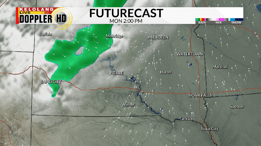
Those showers are part of a frontal boundary that will push eastward through the evening and night, sending what will likely be our only chance for rain this week through the area.

While rain totals aren’t expected to be all that much (A tenth of an inch or less in many areas), it’ll still be something to keep an eye on all the same considering how dry it has been in multiple portions of the region.

After this front clears the area by Tuesday morning, we’ll have a breezy northwesterly wind in place. Temperatures take a small step backward to the west on Tuesday while we hold steady East River.
From there, everyone gets in on a gradual warm-up that carries us through the end of the week and into the weekend as well. While it may not get as warm as it has been at times this month, we’ll still be dealing with temperatures around 10 or so degrees above average at times.

Rain chances next week are a bit sketchy, with a few long-range outlooks trying to get something going by next Monday into Tuesday. Keep an eye out for updates, though rain amounts here aren’t looking all that impressive for now.
Here’s a look at your extended forecast:


