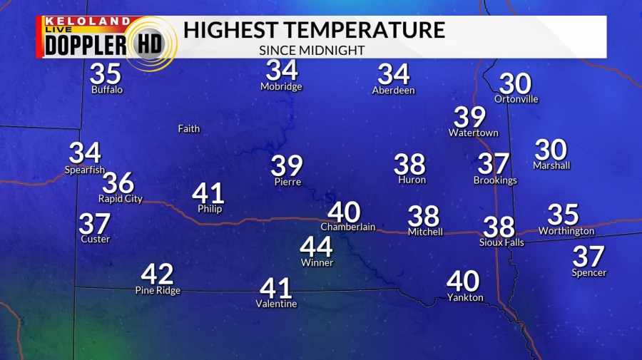
SIOUX FALLS, SD (KELO) — Low pressure has been making a mess of things across KELOLAND…from a cold and dreary rain in the southeast to moderate/heavy snow in the Black Hills and everything in-between.

We’ve seen a gradual switch to snow as colder air moves into central and eastern KELOLAND with low pressure moving to the south and east. We’ll watch this transition over the rest of the day and into the night and see how quickly or slowly this occurs.
Winter weather advisories, as a result, remain in place through the night due to a few extra inches of snow being in the cards for portions of central and southern KELOLAND. Please continue to exercise caution if you must be out and about tonight.

Beyond a few flurries here and there on Tuesday, much of New Year’s Eve is shaping up to be pretty quiet on the active weather front. With that said, though, it’ll be breezy at times. Plan accordingly with any overnight plans.
We’ll ring in the New Year on a pleasant note with a mix of sun and clouds, but the temperature will continue its downward slide through the rest of the week. Highs by Friday may not escape the teens in many areas.
The weekend outlook may be a bit snowy at times, with some light snow possible on both days. From there, a reinforcing shot of cold air comes in and blankets the region with temperatures that may not get above the single digits above zero for daytime highs.
Odds for below average temperatures are favored, especially East River, as we head into the middle of January.

Here’s a look at your extended forecast:


