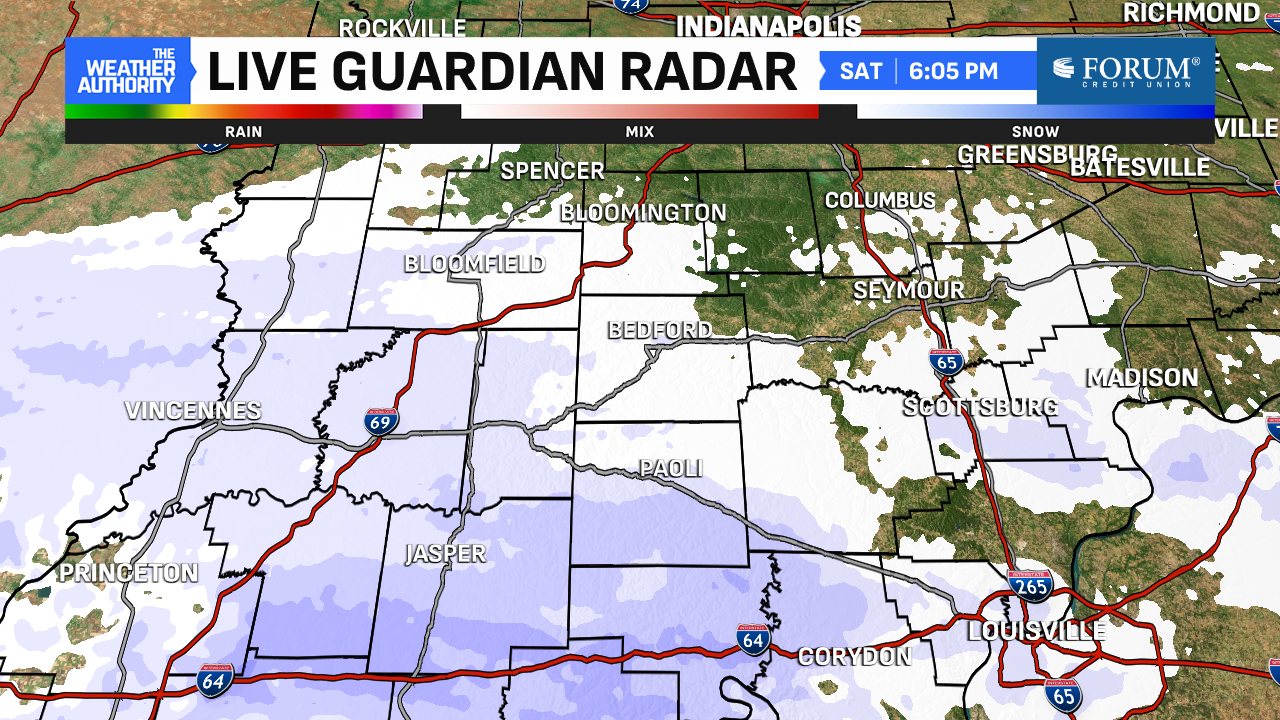
Snow to our south exits
Snow tapers off this evening with a Winter Weather Advisory sticking around for our far southern counties to 1:00 a.m. Saturday. When all is said and done, most will end up with 1-2″ of snow with areas around Indy only receiving a dusting or nothing at all!


Fall 2024 finishes in top 5, snowfall the most since 1997
We had a wild temperature spread this meteorological fall. Our highs were as warm as 94° (September 21st) and as cold as 31° (November 29th). That’s a difference of 63°! Our coldest low also occurred on the 29th (18°) making the spread between the warmest high and coldest low an astonishing 76°!

Fall 2024 finishes as the third-warmest on record with an average temperature of 59.6°. This will be the warmest fall since 2016. Besides eight years ago, the next warmest was 93 years ago in 1931. 70% of our days had above-average temperatures, too.
The 3.3″ of November snow also marked the snowiest November since 1997. Thus also the snowiest fall since 1997. Indianapolis also had its latest first freeze in 122 years when the mercury dipped to 29° on November 21st.

Even colder start to December
As even chillier northwest flow moves in, wind chills Sunday morning will be in the single digits in spots. Highs will struggle to hit freezing with the chills in the teens and 20s for most of the day. Be sure to bundle up! This will be the coldest December 1st since 2010 when the high that day was only 29°. The good news is that the sunshine returns in the afternoon with continually clearing skies in the forecast Sunday.


December also begins our cloudy stretch of months, with December being the cloudiest month annually. We’ll also lose an additional nine minutes of daylight and our average highs will drop into the 30s by December 31st. Indianapolis also averages 6.4″ of snowfall during December. Recall 2023 when only 0.1″ of snowfall occurred.

Additional precipitation chances this week, one milder day
Scattered flurries exist most of the work week through Wednesday with dry hours dominating. Highs will approach freezing by Tuesday and get back into the 40s by Wednesday. With the warmer air, the main precipitation type on Wednesday should be rain. By late next week and into the weekend, another drop of cooler, Canadian air moves in perhaps with another chance for flurries or light snow showers by next weekend.


