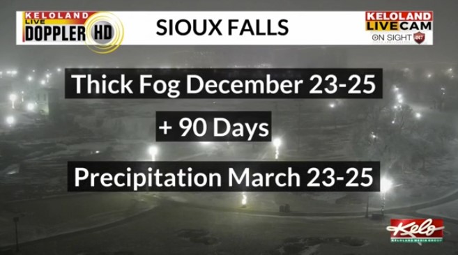
SIOUX FALLS, S.D. (KELO) — Santa needed Rudolph Tuesday night as fog once again developed in parts of central and eastern KELOLAND. The thick fog got me thinking about the thick fog theory.
The theory states that 90 days after thick fog, expect precipitation. This is a theory that garners more attention in the winter as snow is the main precipitation on people’s minds this time of year.

Our latest fog from a couple of days ago to Wednesday morning points to March 23 through 25th.
Before then, January 13th shows up for Aberdeen, the 19th of January for Pierre and Rapid City, and February 1st for Sioux Falls.

You can follow along with the dates on my Snowfall Prediction Page through the weather section on KELOLAND.com.
Those January dates should line up as colder air returns. For the rest of December, we’ll remain above average, but that will change next month. For KELOLAND weather, I’m Meteorologist Scot Mundt.

