SIOUX FALLS, S.D. (KELO) — Overall, it has been a very nice start to the work week across KELOLAND with a good amount of sunshine and seasonable temperatures for much of the region. Even humidity levels were kept mainly in check.
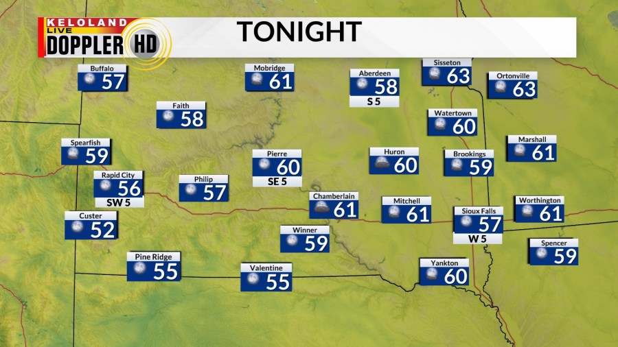
We’ll have another pretty comfortable night on our hands under mostly clear skies. Lows should fall into the 50s in many areas with a few low 60s here and there. Considering average is in the low to mid 60s for lows in many areas, this isn’t bad at all.

Temperatures warm up a little bit more as we head into the day on Tuesday. Highs climb into the low/mid 80s East River and mid 80s to near 90 West River. All the while, we stay mainly dry.

The one thing to watch on Tuesday is a small chance to see an isolated shower or thunderstorm East River in the afternoon and evening. Beyond that, we’re dry.
Overnight Tuesday, we’ll see a better chance for showers and thunderstorms push into northeastern KELOLAND. This will move to the southeastern part of the region as we head into the day on Wednesday. This also is our best chance for rain on both sides of the river through the rest of the week.
Speaking of Wednesday, we’ll have seasonable temperatures with highs in the mid 80s to the east…while West River locations get closer to and above 90 degrees.

90 degree heat has been decently tough to come by the more you travel to the east. That may not be a problem by the end of the week. Heat will build out west and spill eastward through the end of the week and into the weekend. By this point, we should easily get highs in the 90s East River, with portions of central and western KELOLAND hovering near 100 at times.
We may also have to contend with some humidity during this time, so please be mindful of this and keep an eye out for any possible heat related weather headlines.

Beyond the 7 day forecast, odds for above average temperatures remain favored across KELOLAND.
