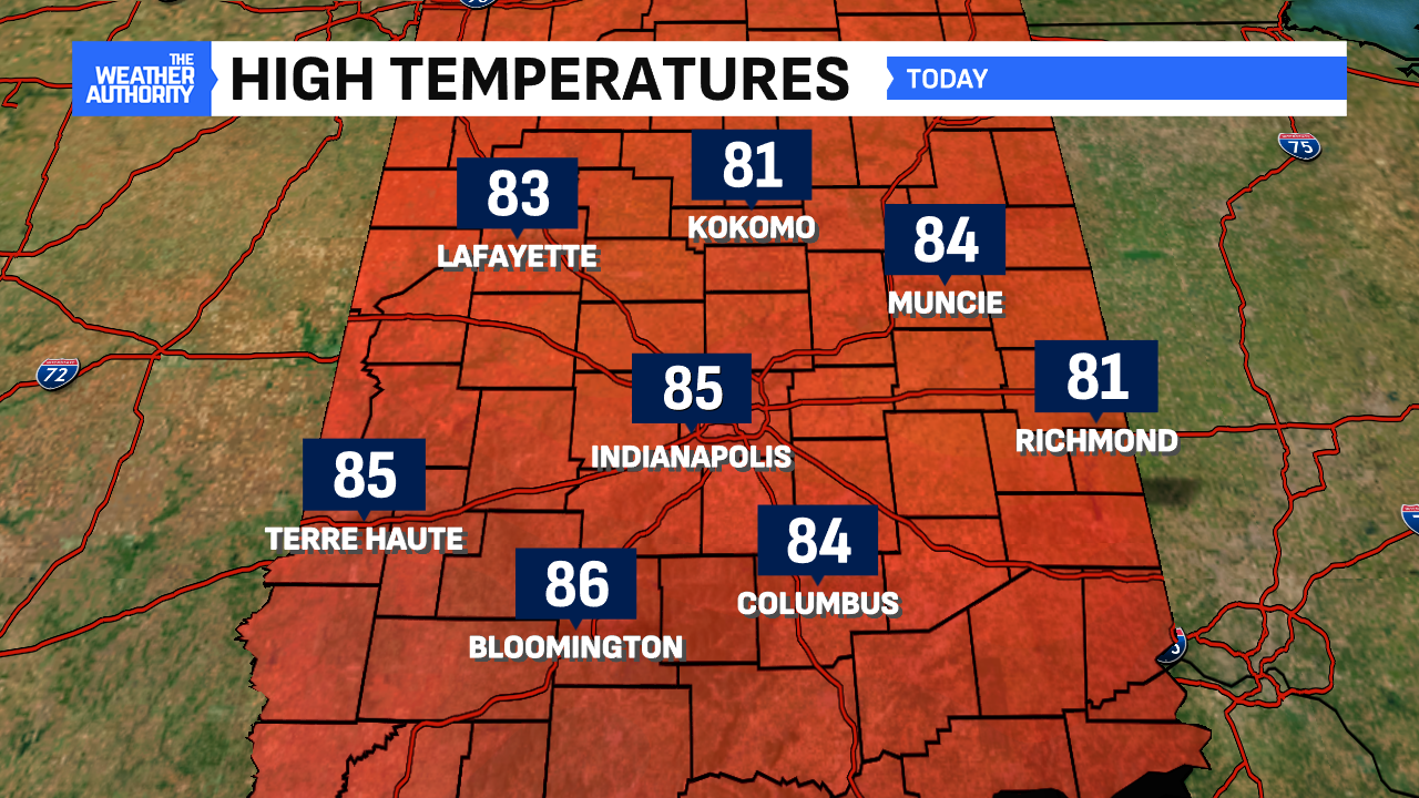
I hope you were able to spend some time outside on Saturday! Highs were seasonable right around the mid-80s and those rebounded from a chilly start for many hometowns. Some spots away from Indianapolis had lows in the lower-50s! This was the last day of our comfortable pattern because changes arrive on Sunday and look to stick around for some time.


Turning rainy and more humid Sunday
The rain will hold off if you plan to be out early Sunday. But by lunchtime, we anticipate rain chances to slowly rise and be around through the afternoon. We aren’t expecting any severe weather but some thunder, lightning and downpours are possible with any storm. See our timing via the graphic below.

Sunday will also come with increased humidity levels which will aid in giving portions of Central Indiana some downpours at times. With this, some localized flooding is possible with any storm on Sunday. Highs will be seasonable in the low-to-mid 80s.

Hot, humid, storm cluster pattern next week
Another ring of fire pattern emerges in portions of the Midwest this week. For us in Indiana, this means several clusters of shower/storms are likely each day. Coverage will be scattered each day, which means that dry hours are promised. Greatest threat for rain will come with daytime heating in the afternoon to early evening.

With any storm cluster, heavy rain remains the biggest threat given the ample amounts of humidity/moisture present in our atmosphere. Severe threats exist with any storm potentially having a damaging wind threat. This usually is the main threat with this type of storm pattern. The core of the hot dome will stay SW but we’ll see increased temperatures. By midweek, highs will make a run at 90° for the first time since mid-July.
It’s possible any convection could limit how much we heat up. Nevertheless, it will feel more tropical-like with dew points at or above 70° for most of this week.

