Rain is back in the forecast as we closely watch the weather patterns today across KELOLAND.

Check out this video concerning our latest heavy rain outlook. Notice Sioux Falls and much of southeastern KELOLAND does have a risk of some locally heavy rain with thunderstorm development the next 24 hours.
We also have a risk of severe weather as shown in the yellow below. The risk area does include most of KELOLAND.

Click the video below for a detailed forecast concerning today’s severe weather risk and heavy rain outlook.
Don’t forget about the wind forecast today. We expect gusts over 30mph very likely in eastern and central KELOLAND this afternoon.
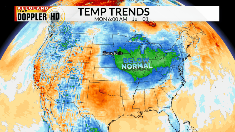
Temperatures the next few days will likely continue below normal. Rain chances will return on the 4th of July, keeping highs in the 70s once again for many areas.

Here are the details of the forecast.


