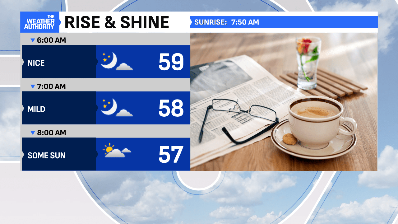
An outstanding start this morning, as dry weather holds and milder air is in place! Expect a cloudier start but a very quiet open to the day. The morning rush hour should be uneventful, as winds remain fairly light through mid-morning.

This afternoon will bring more warmth and a thickening in cloud cover, as temperatures warm into the upper 60s. Winds will become gustier, as a Wind Advisory starts at 11 a.m.


Tonight, severe weather is likely across the Ohio Valley, as quick-moving storms arrive between 5-11 p.m. Damaging winds, hail, and isolated tornadoes will likely develop in Illinois and swiftly move into Indiana. It’s a good idea to check in on the radar and download our free “Weather Authority” app, where you can set-up your house for alerts and warnings. This strong cold front will clear before midnight, as a winter feel returns.


Thursday marks the first day of spring (5:01 a.m.), but a winter’s day will be the rule, as temperatures struggle in the 40s and patchy flurries/drizzle will be in the mix through early afternoon before sun emerges to end the day.


