
SIOUX FALLS, S.D. (KELO) — The week is off to an active start and several thunderstorm chances are in the forecast. As you are about to see, there are several factors working towards that wetter picture.
There’s no question that portions of KELOLAND are drying out quickly. Just one glance at the 30-day rainfall map shows many areas in orange and yellow, representing the dry pattern.
Marshall, Minnesota is registering only 25 percent of normal rain during this time period. It is interesting to note the difference in Pierre, where thunderstorms have made a noticeable impact.
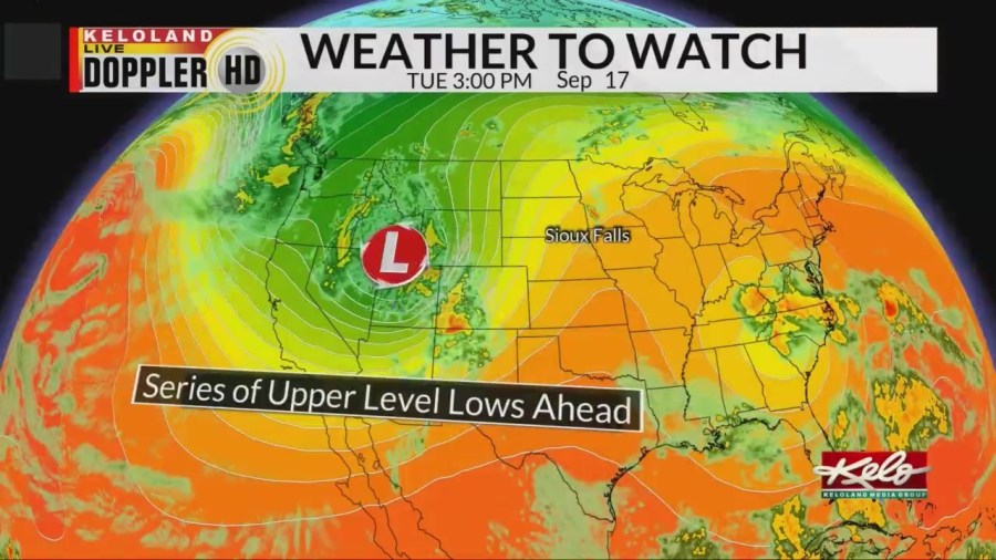
The upper-level weather pattern will be favorable for more rain chances with a broad trough across the Rockies in place. At least 2 significant low-pressure system will march through the pattern in the next 7 days.
In addition, the Gulf of Mexico is in business and richer levels of humidity will be in the mix by the weekend. If this trend continues to hold, locally heavy rain is possible.
Normal rainfall for September in Sioux Falls is around 2.73 inches, so we’ll need a wet forecast to close the gap in the days ahead.