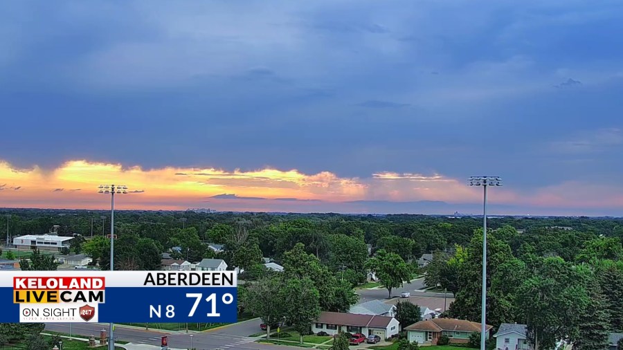
SOUTH DAKOTA (KELO) — Good morning KELOLAND! We are busy tracking scattered showers and thunderstorms in the region.

Here’s a look at the radar review over the past few hours. Most of the big thunderstorms have been in MN. Locally heavy rain has been the main issue.

Severe weather chances today should move into Iowa as a cold front marches south.

You can see the details on Futurecast below. Notice the addition of scattered rain chances tomorrow across our region. We expect highs to cool into the upper 70s and lower 80s tomorrow, with even cooler weather by Wednesday.


