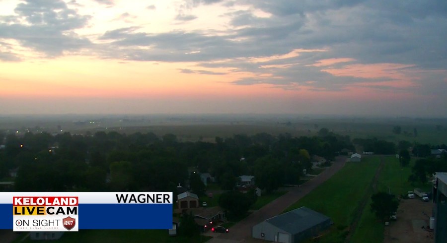
SIOUX FALLS, S.D. (KELO) — Good morning KELOLAND! It’s a quiet start to this Monday morning across KELOLAND. We’ll be tracking a few scattered t-storms this week and those rain chances will be biggest factor affect daily high temperatures across the region.

Yesterday’s highs were directly affected by the scattered rain. Chamberlain hit a high of only 76, while Rapid City hit 95.

The areas of green and yellow on the map below show the heavier rain tracks in the middle of KELOLAND yesterday.

On radar, a few isolated showers have developed south and west of Yankton. Our focus for new thunderstorms tonight will be in western SD.

The local pattern here in KELOLAND is connected to the bigger picture of these “ridge rider” thunderstorms rotating in a ring around the center of high pressure over the southern plains.

Your forecast today will include highs in the lower 80s in Sioux Falls under partly cloudy skies.

Up next, watch radar trends this evening in western SD. We think scattered showers and thunderstorms will move east overnight into central SD. The rain chances and clouds East River tomorrow will make some cooler temperatures in eastern KELOLAND.

Rain chances today will be confined to mainly far western SD.

Those chances will expand tonight into central KELOLAND

Tomorrow will feature scattered rain chances farther east, but only at the 20 or 30 percent level for Sioux Falls.

Watch for another chance of showers and thunderstorms East River by Thursday and Friday. We’ll more on that story in the coming days.

Here are the details of the forecast.


