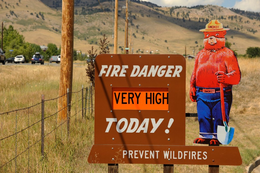

Strong, gusty winds, near-record temperatures and low humidity across Colorado on Monday will create “critical fire weather conditions,” according to the National Weather Service.
From 11 a.m. to 7 p.m. Monday, most of Colorado east of the foothills will be under a Red Flag Warning for the increased risk of fire danger, NWS forecasters said.
Colorado’s Front Range and Eastern Plains will see relative humidities as low as 8% and wind gusts up to 50 mph, forecasters said.
Strong, downsloping winds may also bring 65 mph wind gusts into Colorado’s lower foothills, according to a Hazardous Weather Outlook.
Temperatures are forecast to reach 75 degrees in Denver on Monday, one degree short of the city’s March 17 record of 76 degrees — set in 2012 — and nearly 20 degrees above normal March temperatures, according to NWS records.
Cities and towns on the Eastern Plains will also see above-normal and near-record temperatures Monday, forecasters said.
A temperature high of 74 degrees is forecast for Akron, which set a March 17 record high of 78 degrees in 2012. Temperatures are also forecast to peak around 78 degrees near the Colorado-Nebraska border in Sedgwick, which recorded a record high of 83 degrees in 2015.
Temperatures will drop Tuesday as a new storm system moves into Colorado, according to the Hazardous Weather Outlook.