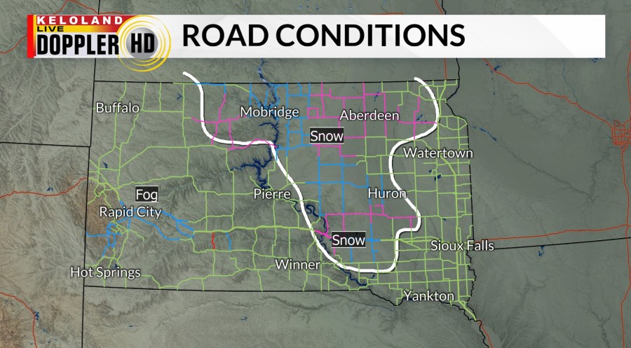
SIOUX FALLS, S.D. (KELO) — Good morning KELOLAND! We are tracking a batch of heavy wet snow mixed with rain. Take a look at our LIVE camera views on the videos below.
On radar, that band of snow snow is moving northeast. Expect reduced visibilities as the snow and slush accumulate on the some of the roads.
As of 6:45am, the snow is accumulating on the roads west and northwest of Sioux Falls.

Our short-term forecast shows temperatures climbing back into the lower 40s in Sioux Falls this afternoon. In other words, the morning snow will likely melt over the next few hours.

A winter storm warning has been posted for the far northeast for 5-9″ of snow through tomorrow. A winter weather advisory has been posted for Redfield, Watertown, and Brookings. A sloppy 1-4″ snowfall is forecast in those areas.

You can see the snow moving to the northeast during the morning on Futurecast below. Keep in mind there should be a break in the activity behind the first wave of rain and snow. New thunderstorms will likely develop in northern Nebraska late this afternoon. This thunderstorm chance will include Sioux Falls this evening. The wrap-around snow forecast will include much of northwestern SD
Winter weather advisories also include the Black Hills. Other areas of northwest SD may be added to these headlines if the current trends continue.

Here are the details of the forecast.


