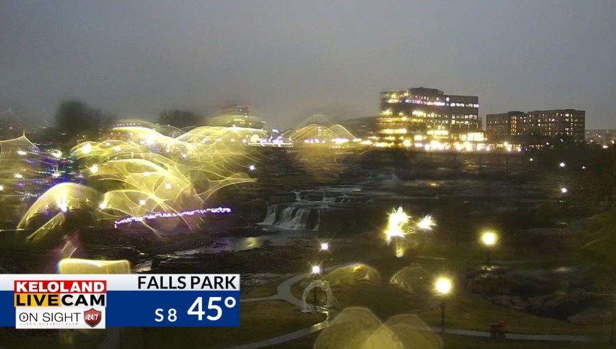
SIOUX FALLS, SD (KELO) —Rain showers have returned to much of eastern KELOLAND this morning. You can see the view from our Falls Park LIVE Cam as of 7am in the picture below.

The steady rain showers are streaming northward from eastern Nebraska and western Iowa. Most areas west of the James Valley will remain dry today.

The map below shows the 24 hour rain totals as of 7am. We are getting a few reports over .50″ near Cherokee, Iowa. Watertown has also picked up a nice shower and these numbers will continue to increase through the morning.

The rain forecast will continue to slide eastward into the afternoon, with sunny skies and 50s likely for much of western SD. Expect partly cloudy skies tonight with morning lows in the upper 20s to lower 30s. We’ll follow up with a pleasant afternoon with most areas in the 50s on Thursday afternoon. Rapid City should be back in the 60s.

Highs on Friday should also be in the 50s, well above normal for this time of the year.

Saturday also looks mild across the east, with 60s possible in Sioux Falls.

The weather forecast still looks more active early next week, but we still have a lot moving pieces to watch in the forecast. One of the big features to keep an eye on will be the potential for a large blocking high pressure system over eastern Canada. That could ultimately determine how the storm system to our southwest approaches KELOLAND starting Monday on next week. One scenario does stall this system and allows some colder air to wrap into the back-side on the storm. Again, that’s one scenario. Other data points toward a more easterly track, which would miss much of our area. The bottom line…stay tuned and we’ll keep watching the pattern unfolding next week.

Here are the details of the forecast.


