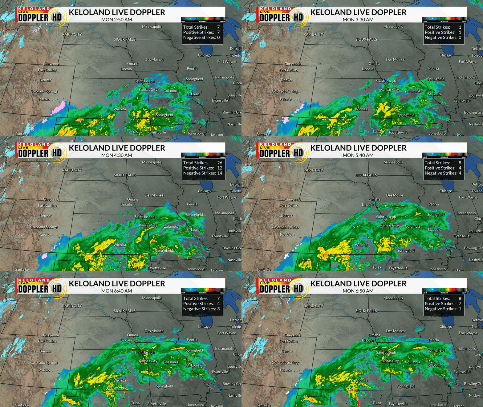
SIOUX FALLS S.D. (KELO) — Rain is on the way for parts of KELOLAND today. You can see the rain moving up from the south early this morning, with embedded thunderstorms in Kansas and Oklahoma.

Here’s a look at the planner today for Sioux Falls. Rain will become likely by early afternoon, with rain continuing this evening and overnight.

The animation below shows the track of the system the next 48 hours. Most of the rain will fall in eastern KELOLAND through Tuesday morning, with stronger NW winds becoming the story during the day tomorrow. It may be tempting to say we are done with the storm tomorrow, but watch how the snow returns from the north Tuesday night into Wednesday. We could see some accumulations in northeastern SD, with more on that story later today.

This map shows the snow probability outlook through Wednesday. The numbers are still better than 50/50 in the northeast. Even Sioux Falls may get some snowflakes before this is done.

You can watch the video below for a closer view of the rain and temperature forecasts the next 36 to 48 hours.
Rain totals will be heaviest east of the James Valley. We expect a good chance of 1″ or more along I-29 and points east.

Strong winds will be a story starting late tonight, lasting into Wednesday. Widespread NW winds of 20-45 mph are forecast across our region.

One last note…the weather will be turning colder in the days ahead, with perhaps a rebound into the 40s this weekend. Another active pattern is brewing for next week, so continue to watch for more details in the days ahead.

Here are the details of the forecast.


