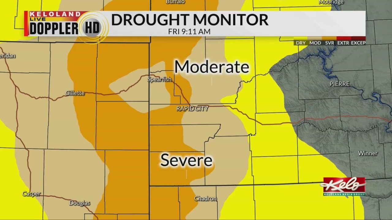
SIOUX FALLS, S.D. (KELO) — Despite clusters of showers and thunderstorms this week in KELOLAND, the drought picture in western South Dakota remains much the same. We take a closer look at the conditions across the region.
Better, but still too dry. Those words sum up the weekly rainfall trends as rounds of scattered rain moved across the region. Here’s a closer look the trends we are watching.
Rain patterns Wednesday and Thursday were certainly wetter East River this past week. The Aberdeen saw the heaviest totals, with locally over three inches falling in that area. The seven-day rainfall map doesn’t look a whole lot different. However, a few more thunderstorms have delivered some locally one-inch plus rainfall totals to the northern Black Hills.
The moisture has not impacted the latest drought monitor, which remains unchanged from last week. It’s unlikely we’ll see any significant changes to the moderate to severe drought conditions in place across the Black Hills.

And with 90s in the forecast for that section of KELOLAND most of next week, don’t be surprised if those conditions get worse before they get better.

