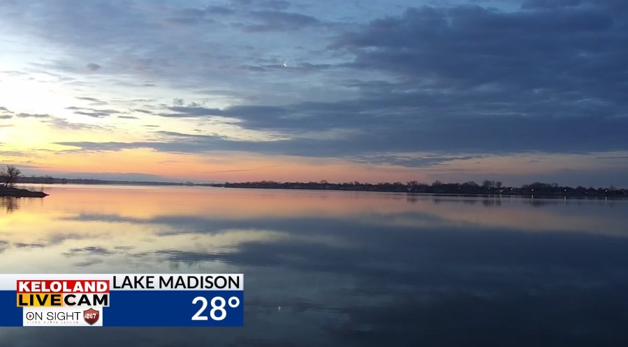
SIOUX FALLS, S.D. (KELO) — It’s a picture perfect start to the morning at Lake Madison, with light winds and a beautiful sky light with clouds and sunshine. Expect pleasant temperatures today more typical of mid April in KELOLAND.

Scattered showers have been pushing across KELOLAND the past 24 hours, but most rain reports are a few hundredths at best.
Our short-term forecast for Sioux Falls shows temperatures in the upper 50s to near 60s late this afternoon with partly cloudy skies.

You can see temperatures will be near 60 today in much of KELOLAND. Northwest winds will increase this afternoon, running 15-30 mph East River with higher gusts. The mild weather trend will increase tomorrow with widespread 60s and 70s across the region. We’ll be even warmer on Thursday and Friday.
The maps below show the high temperature projections for both days. Sioux Falls will be near 82 on Friday, which would tie a record high.


The weather pattern for the weekend is certainly looking more interesting. First, the temperature contrast from Friday to Saturday looks impressive. Temperatures will likely drop at least 40 degrees in some areas, along with chances of showers and thunderstorms with the cold front. Then, temperatures may slide enough for wet snow later Saturday into Sunday. This system is far from decided on the track and intensity of the snow, but we’ll keep an eye on the details in the coming days.
Here are the details of the forecast.


