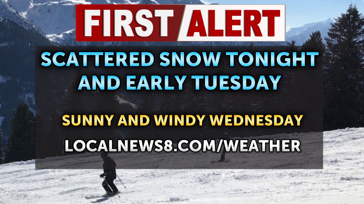
Overnight, rain and snow between 1am and 4am. Patchy fog between 11pm and 3am. A low temperature around 30°. Southwest winds 10 to 15 mph becoming northwest after midnight. Winds could gust as high as 20 mph. The chance of precipitation is 80%. New snow accumulation of less than one inch possible.
For Tuesday, there is a chance of snow and rain showers. Mostly cloudy, with a high temp near 40°. North northwest wind 10 to 15 mph, with gusts as high as 25 mph.
The National Weather Service has been posted through Tuesday morning for the mountains of eastern Idaho:
WINTER WEATHER ADVISORY REMAINS IN EFFECT UNTIL NOON TUESDAY.
* WHAT…Snow. Additional snow accumulations between 4 and 12 inches. Winds gusting as high as 55 mph.
* WHERE…Big Hole Mountains, Centennial Mountains – Island Park, Bear River Range, Caribou Range, Marsh and Arbon Highlands, and Southern Hills/Albion Mountains.
* WHEN…Until noon MDT Tuesday.
* IMPACTS…Travel could be very difficult. Blowing and drifting of snow is likely. The hazardous conditions could impact the Monday evening and Tuesday morning commutes. Strong winds could cause tree damage.
For Wednesday, sunny skies with a high temperature in the lower 40’s. South southwest wind 10 to 15 mph, with gusts as high as 25 mph.
Thursday, snow likely with mostly cloudy skies. A high temperature in the lower 40’s for the Plain. Breezy, with the wind speeds around 15 mph. The chance of precipitation is 70%. New snow accumulation of less than a half inch possible.