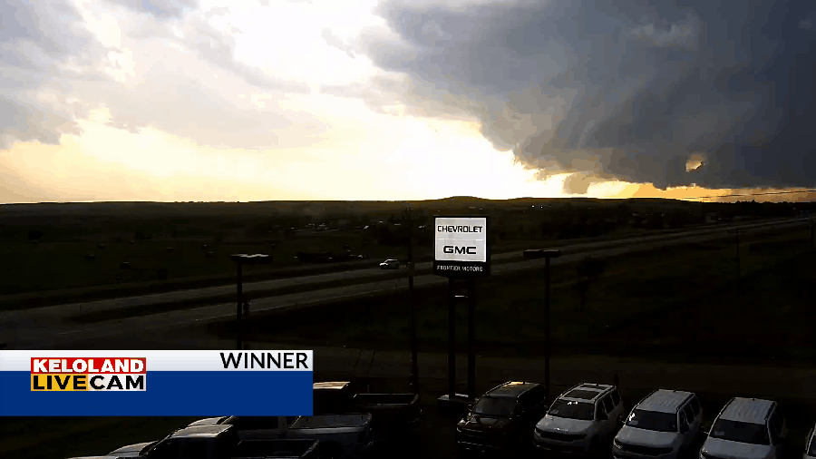
SOUTH DAKOTA (KELO) — Numerous areas of showers and thunderstorms have been affecting KELOLAND the past 12 to 18 hours. The biggest severe weather reports occurred between Murdo and Winner last night, where 80 to 90 mile per hour winds and large hail has caused significant damage. Here’s a look at our timelapse photography from Winner as the storms rolled through.

Other thunderstorms have moved across eastern KELOLAND. Rain is still falling in Sioux Falls as of 7:30am.

You can see the early morning radar trends of more thunderstorms around the Sioux Falls area.

You can see on the morning radar loop that thunderstorms continue to redevelop across sections of eastern South Dakota, southwestern Minnesota, and northwestern Iowa. New development is more likely this afternoon across northern Nebraska and again across portions of North Central South Dakota.

Our afternoon and severe weather outlook is shown on the map below.

Another round of severe weather is expected tomorrow in southeastern KELOLAND. Continue to watch for updates.

Watch the video below for more details about the thunderstorm forecast across KELOLAND.
Here’s a look at the forecast.


