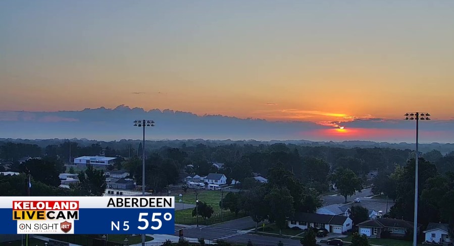
SOUTH DAKOTA (KELO) — Good morning KELOLAND! Scattered rain has been moving across KELOLAND the past 24 hours, but the rain is gone from the Aberdeen area this morning with a beautiful morning sky as seen from our LIVE CAM as of 6:45am.

Scattered showers continue to move east this morning, with some redevelopment possible this afternoon east of I-29.

Bigger storms rumbled across western SD yesterday, but they were scattered in nature.

Rain totals in Sioux Falls this morning have been under .10″, but local number just north have registered .25-50″.

Here’s a look at the day planner for Sioux Falls.

Futurecast will show the showers and thundershower chances returning to the Black Hills this evening. We expect a few widely scattered areas of rain in the morning across the south central. Better chances of rain will arrive in western SD Tuesday evening and spread east on Wednesday.
The maps below show the rain chances through Wednesday.


Wednesday certainly has the potential to turn wetter. We’ll continue to monitor the trends.

You will also notice an increase in wind speeds tomorrow and Wednesday front the south and southeast.

Here are the details of the forecast.


