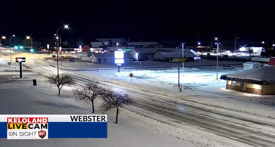
We are starting the day with plenty of snow on the ground in northeastern SD. Aberdeen picked up just under 7 inches of snow yesterday, so roads are still snow covered and slippery.

The 24 hour precipitation totals are shown on the map below. Keep in mind these are not storm totals. We’ll be working on those numbers as the come into the Storm Center today.

The large footprint of rain and snow can be seen on the 12 to 24 hour loop of the radar in the video below. We are now done with the precipitation for today, but another system is headed for KELOLAND tomorrow.
Temperatures should recover into the upper 40s for Sioux Falls with a blend of sun and clouds this afternoon.

The clouds will break up today in the central and west, allowing temperatures to reach the lower 50s in Rapid City. We expect a quick return of rain and snow tomorrow morning in central SD. That activity will move east during the afternoon to include Sioux Falls. The heaviest precipitation will likely fall in central KELOLAND, where a pocket of .25″ to .50″ of precipitation is expected.
Are we going to warm up in the extended forecast? The short answer is yes, but not right away. Another cold front on Monday will keep temperatures below normal early next week. By mid week, temperatures will be warming above normal with 60s and 70s likely late next week.
Here are the details of the forecast.


