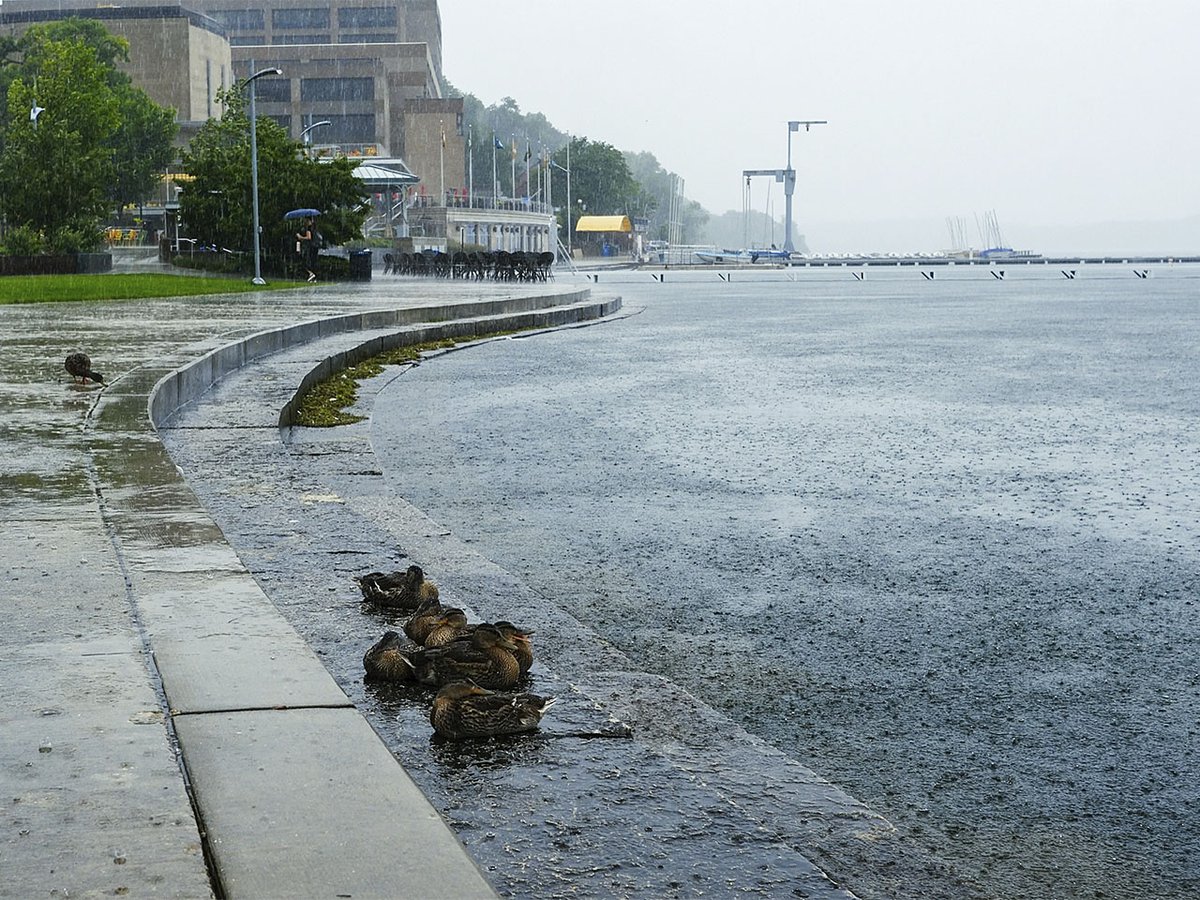
In the summer of 2018, disaster struck Madison. Record-breaking August rainfall damaged homes and memories. One person was killed and there was more than $21.4 million in reported property damage.
The flooding spurred coordinated efforts between the city and Dane County to understand why the flooding occurred and to mitigate future incidents. In 2019, the city of Madison launched a watershed study program to better understand Madison’s 22 watersheds — areas of land that drain rainfall and runoff to a body of water — and to “address areas hardest hit by flooding in August 2018 and create a more resilient stormwater system.”
The studies are coming at a crucial time — storms and rainfall have continued to intensify across the Midwest since 2018. Summer storms in June led Gov. Tony Evers to declare a state of emergency after 10 tornados raged across nine Wisconsin counties. The month was Wisconsin’s sixth-wettest June on record, according to Wisconsin Public Radio, bringing 6.97 inches of average rainfall, compared to the 4.7 inches normally expected.
Though there have been some delays, the city expects the watershed studies to be complete within two years: “We’re mostly on track,” Janet Schmidt, city of Madison stormwater section manager, tells Isthmus. “We’re hoping that we can wrap that up in 2026.”
The studies are done in three stages. City staff first gathers all available information on each watershed and then constructs and fine-tunes computer models that can simulate flood conditions in each watershed while taking into account lake levels, recent storms and watershed topography: “Without these models, it would be virtually impossible for us to do that,” Schmidt says. Consultants have assisted with a majority of the studies, Schmidt adds, while three have been or will be completed entirely in-house by city staff.
The final stage is to develop flood-reduction solutions by using larger pipes, rerouting storm sewers, or increasing pond sizes. Those infrastructure solutions are expected to take decades to implement fully, according to the city’s watershed study website. The city holds public information meetings for individual watersheds throughout the process to gather information and feedback.
Consultants propose numerous solutions for any given watershed in the final version of the study. The completed Wingra West watershed study, for example, has eight proposed solutions. They range from increasing the size of storm sewer pipes and modifying culverts — the pipes that carry water underneath roadways — to deepening existing ponds in the Odana Hills golf course.
With assistance from the computer model, for instance, staff can predict that pond expansions and storm sewer improvements would prevent street flooding in Orchard Ridge Valley park for a storm that has a 10% chance of occurring each year.
City staff have finished eight of the 22 studies, and Schmidt estimates another three or four studies will be completed this year. She says the Starkweather Creek watershed study has taken longer due to having a “gigantic” area to study and that, in some cases, further consideration was given to potential solutions due to public feedback.
City consultants conduct feasibility analyses to determine if solutions would be effective and to identify constraints, like environmental protections or immovable utilities, that might make a project a non-starter. Infrastructure improvements are needed in some cases to address outdated flood infrastructure in some city neighborhoods, city officials say, but funding and public support are concerns, Schmidt says. She points to the Willow Creek watershed near University Avenue, which she says can quickly “severely flash flood.”
“One of the best options for fixing that would be a big tunnel going out to the lake,” Schmidt says. “But the price tag and the cost to do it is so high, and the ability to get it done is so challenging, that it’s not really a viable solution.”
The studies and computer models should stay relevant long in the future, Schmidt says — city staff can make additions or modifications for implemented solutions and new conditions. She adds that climate change, and the more intense and frequent storms it causes, is changing how staff is designing the system.
“I’ve been with the city not quite 30 years — we’ve had some floods, but this is by far the most rain and flooding that we’ve been seeing for probably the last 10 years,” Schmidt says. “Those are the things that change how flooding is managed.”
Schmidt says that a side benefit of these studies is how the city has been communicating with county and DNR officials on impacts to lake levels. She says it’s also necessary for elected officials to effectively communicate to the public why the city cannot simply “fix our flooding problems.”
“We want folks to understand that if it was easy, it would have been done already,” Schmidt says. “And most of these projects are not necessarily easy.”
Schmidt advises that residents look through resources on the city of Madison’s website and check with their insurance providers about flood insurance add-ons and property management. She says there are also solutions individual residents can take, like closing window wells or grating walkout basements correctly.
And the city’s stormwater section will continue to work with the public, elected officials and developers to prepare for future flooding and find solutions, Schmidt says.
“It’s gonna save a lot of headache on our side, and a lot of money on other people’s side.”


