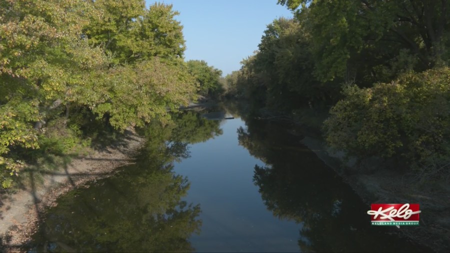
SIOUX FALLS, S.D. (KELO) — Our dry skies and warm days are limited. Things are about to change across the area.
Sioux Falls is a little more than two weeks without measurable rainfall. That’s the third longest stretch of dry conditions in the city so far this year, behind 20 and 23 consecutive days of dry weather that dates back to the beginning of the year. Give it about another week and we may see our dry days come to an end.
Here’s our setup going into the later part of next week. It shows a trough digging in the southwest United States which is usually a good setup for KELOLAND to receive rain. It’s just a matter of timing. And the latest data is suggesting October 18th or 19th. I’m sure there are skeptics out there that will believe it when they see it.
But we have fog on our side. Using the fog theory, Sioux Falls and Aberdeen had thick fog July 19th and 20th, add the 90 days and it comes out to be the 17th and 18th of October to get precipitation.
Before the rain chance moves through, temperatures will cool. In fact, we’re still looking for a possible freeze Monday morning as temperatures fall to the 20s in northern and eastern KELOLAND. Real fall weather is just around the corner.


