MORGAN CITY, La. (AP) — Hurricane Francine barreled toward Louisiana on Wednesday strengthening to a Category 2 storm that could bring deadly storm surge, widespread flooding and destructive winds to Louisiana and Mississippi.
The hurricane was expected to make landfall in the evening, crashing into a fragile coastal region that hasn’t fully recovered from a series of devastating hurricanes in 2020 and 2021.
Francine drew fuel from exceedingly warm Gulf of Mexico waters, strengthening from a Category 1 to a Category 2 storm, with winds of 96 to 110 mph (155 to 175 kph), the National Hurricane Center.
A hurricane warning was in effect along the Louisiana coast from Cameron east to Grand Isle, about 50 miles (80 kilometers) south of New Orleans, according to the center. A storm surge warning stretched from the Mississippi-Alabama border to the Alabama-Florida border. Such a warning means life-threatening flooding could occur.
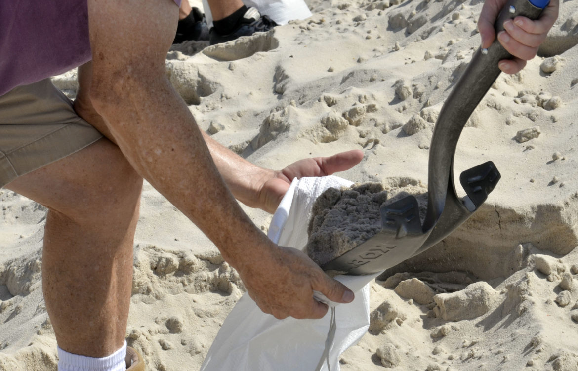
The Mississippi Emergency Management Agency said it distributed more than 100,000 sandbags to the southern part of the state and the Department of Education reported a number of school district closures for Wednesday and Thursday.
Francine is the sixth named storm of the Atlantic hurricane season. Much of Louisiana and Mississippi could get 4 to 8 inches (10 to 20 centimeters) of rain, with the possibility of 12 inches (30 centimeters) in some spots, Brad Reinhart, a senior hurricane specialist at the hurricane center.
The hurricane center said parts of Mississippi, Alabama and the Florida Panhandle were at risk of “considerable” flash and urban flooding starting Wednesday. The lower Mississippi Valley and lower Tennessee Valley could experience flooding later in the week as the soggy remnants of Francine sweep inland.
“I know that we have been through a lot here in Louisiana, but I urge everyone to take the necessary preparations,” said Louisiana Gov. Jeff Landry, who urged residents to “stay off the roads, stay home and stay put.”
Hurricane season typically peaks around this time of year and Louisiana residents have often faced threats from such storms. Since the mid-19th century 57 hurricanes have tracked over or made landfall in Louisiana, according to The Weather Channel. Among them are some of the strongest, costliest and deadliest storms in U.S. history.
Landry said the Louisiana National Guard was being sent to parishes that could be impacted by Francine. They have with food, water, nearly 400 high-water vehicles, about 100 boats and 50 helicopters to respond to the storm, including possible search-and-rescue operations.
Francine was centered Wednesday evening about 65 miles (105 kilometers) southwest of Morgan City, Louisiana, and was moving northeast at 17 mph (27 kph) with maximum sustained winds of 100 mph (155 kph), the Miami-based hurricane center said.
President Joe Biden granted an emergency declaration that will help Louisiana secure federal money and logistical assistance from partners such as the Federal Emergency Management Agency. Both Landry and Mississippi Gov. Tate Reeves also declared states of emergency, authorizing them to quickly free up resources for disaster assistance.
Bands of heavy rain were hitting New Orleans Wednesday morning. The city’s historic streetcars that roll on South Carrollton Avenue had to ease past cars that motorists parked next to the tracks on the grassy median. The median is a few inches higher than the street and drivers sometimes park there to avoid street flooding.
Francine’s storm surge on the Louisiana coast could reach as much as 10 feet (3 meters) from Cameron to Port Fourchon and into Vermilion Bay, forecasters said.
Cline reported from Baton Rouge, Louisiana. Associated Press writers Curt Anderson in St. Petersburg, Florida, and Kevin McGill in New Orleans contributed to this story.
![]()