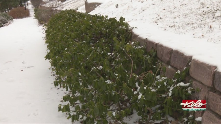
SIOUX FALLS, S.D. (KELO) — Christmas Day is fast approaching and while many I talk to would want a white Christmas, as we go through next week, any snow on the ground will start to melt.
Temperatures in eastern KELOLAND were below average on Wednesday with highs mainly in the 20s. We’ll have a temperature swing over the next 36 to 48 hours with the coldest air this week arriving for Friday. After Friday, we’ll have a slow warm-up, and that warm-up will help melt whatever snow you have on the ground.
But just how warm we get remains to be seen. I’ve seen the numbers swing back and forth over the next couple of days for Christmas Day. But all the data suggests temperatures will be above average, which will be above freezing.
Earlier in the week, models were suggesting highs in the upper 40s in Sioux Falls for Christmas. If that would happen, it would be close to record highs.
This is a look at the record highs for Christmas. They range from 49 degrees in Watertown, 50 in Sioux Falls to as warm as the 60s in western and south central South Dakota. The record high in Rapid City is 63 and it’s 66 in Winner. I do not expect temperatures to get that warm.
Of course the snow depth will play a role on how warm we get. With another round of snow in the forecast for eastern KELOLAND Thursday, it will make those records much harder to achieve.


