Expect a cloudy start this morning, while a weak shower chance remains in the mix. Most areas are staying dry and temperatures quite warm, out-the-door, as dew points make it feel quite stuffy.

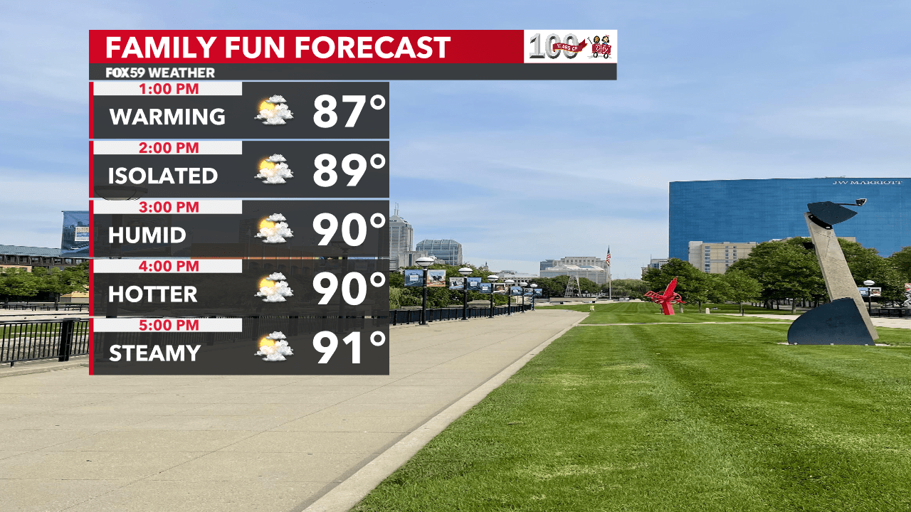
By this afternoon, clouds will begin to thin, as additional sunshine builds statewide. This will bring temperatures back into the lower 90s by late afternoon. A random shower or storm could be around, too, but chances will remain under 10% across the state. Winds will remain light from the southeast at 5-10 mph.


Intense heat begins its stint tomorrow through the weekend. Nearing record levels in some towns but nothing we haven’t been through before here in Indiana. Be sure to take it slower on days like this outdoors and hydrate the little ones. A cold front will be back on Sunday, bringing storms by the afternoon and a cooler, less humid flow for Monday.

