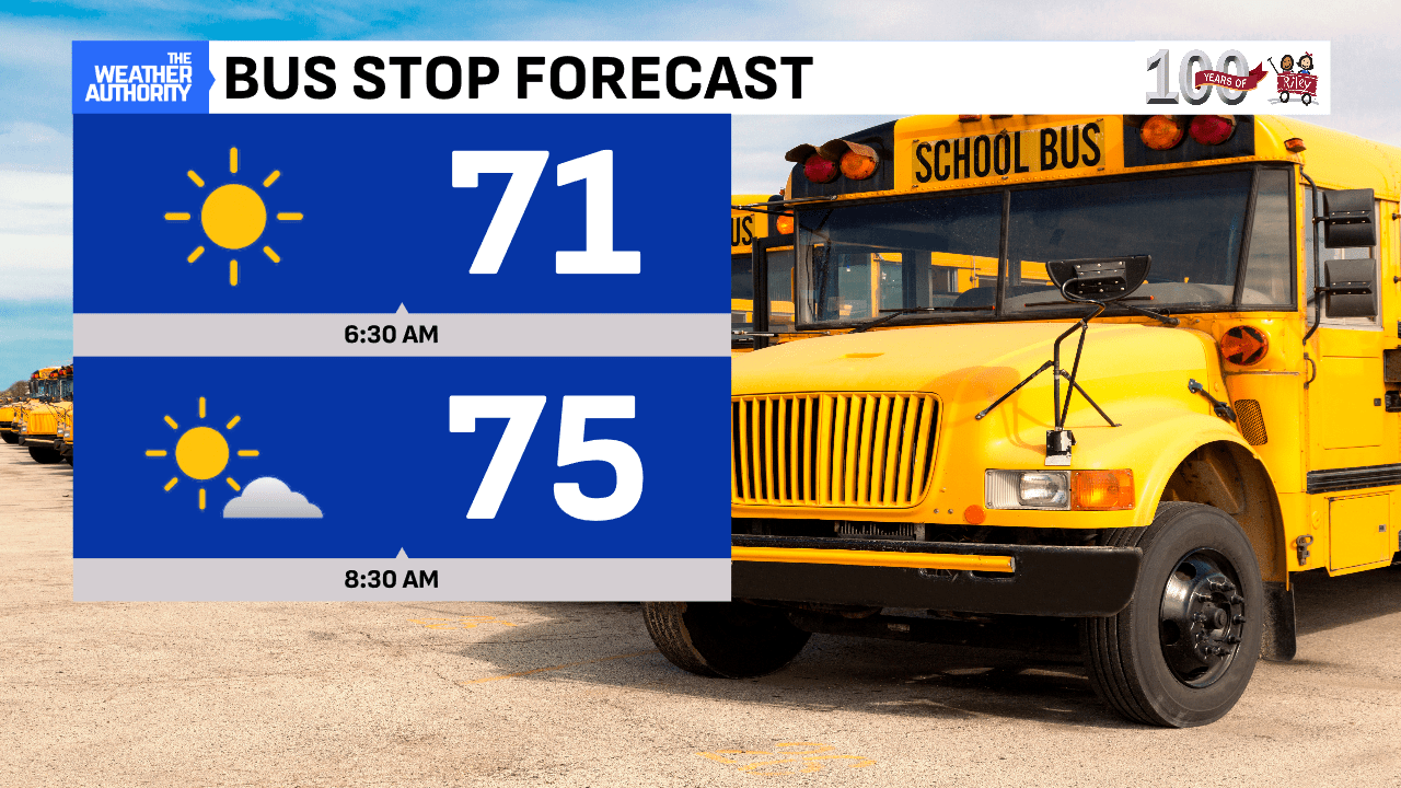
Off to a dry and very warm start this morning out-the-door! Radar is quiet and temperatures are hovering in the lower 70s statewide with limited fog.

Expect a hot day ahead with rising dew points, marking a sticky afternoon with southwest winds at 5-10 mph. A frontal boundary is setting up in southern Michigan and will likely spark storms well north. One or two could drift into our northern counties late in the day! Overall, a very hot and uncomfortable afternoon, so take it slow while working outside.

Tuesday will bring more heat, and maybe the hottest since July 15 (nearly 3 weeks)! Expect high humidity and clouds billowing up in this hot air. A cold front will be dropping in Tuesday night and will bring a few storms to the area. It will also bring a northerly flow and break in the heat on Wednesday, as temperatures cool back to more seasonal levels. More quiet weather to round out the workweek and upcoming weekend…enjoy!


