
SIOUX FALLS, S.D. (KELO) — With the weather pattern we are in, anytime we get strong winds in KELOLAND, fire danger will be elevated. With the passage of a cold front this weekend, expect Saturday to be one of those days.
Nothing has changed for the beginning of October, as dry skies and warm temperatures remain. Unfortunately, so has the high fire danger.
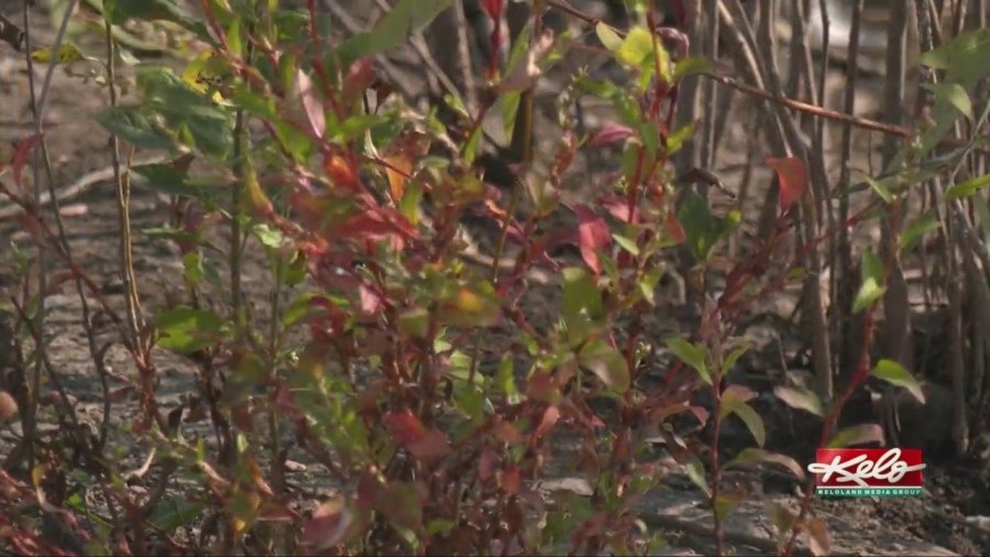
Our warm temperatures, low humidity, and strong winds are the perfect ingredients for high fire danger. And while we had that Wednesday in central and western KELOLAND, expect to go through it again for this weekend.
Saturday will bring another cold front to the area. Strong northwest winds are expected to gust to the 40s to near 50 mph. At the same time, temperatures will be well above average and the humidity will remain low. It will most likely be another day with high fire danger.
The dry skies will most likely continue through the first half of the month, the second half may bring more typical October weather.