SIOUX FALLS, S.D. (KELO) — Once again, we’ve had to deal with smoke in the atmosphere. But once again, we’ve also been able to enjoy a mainly quiet day across the region.
The exception, however, has been in Iowa and SW Minnesota…where a few strong to severe storms have been able to crash the party and push through the area.
A few isolated showers are still possible to the east and southeast as we head through the rest of your day, but activity will be rather sparse. Beyond that, we’ll quiet down as we head into the night with clear skies in place a light breeze.
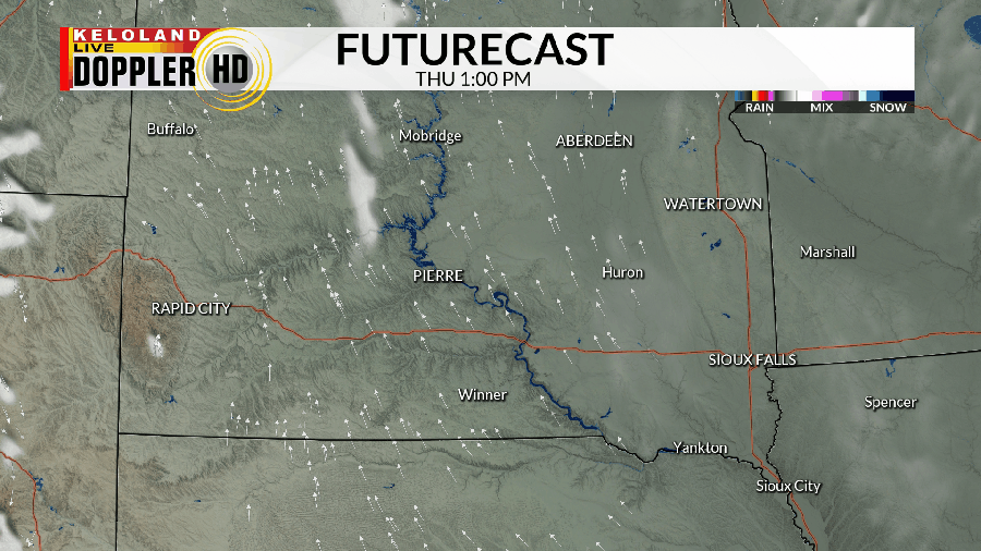
Much of the area is quiet on Thursday, but the one exception to the rule may be in southwestern KELOLAND.

A “Marginal Risk” for severe weather is in place for southwestern South Dakota on Thursday into the evening. Wind and hail are the main concerns with any storm that fires up.

After that, we get ready for hot and humid weather to take over from Friday through at least Sunday on both sides of the river. Please plan accordingly if you have any outdoor plans during this time. Chances to toe the line of 100 are higher in central and western KELOLAND, while the east is more humid.
Shower and thunderstorm chances return as we get into the first half of next week. Though scattered in nature, you’ll want to keep an eye on the skies if you’re headed out and about.
Temperatures remain near to above average through much of next week.
Here’s a look at your extended forecast:


