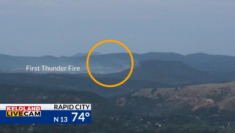
SIOUX FALLS S.D. (KELO) — Fire weather concerns have been very high in western South Dakota, but better news is coming today. You can see the visuals of the First Thunder Fire 3 miles southwest of Rapid City.

The high hit 100 degrees in Rapid City. We’ll be about 20 degrees cooler today with scattered rain chances ahead.

The short-term forecast today for the Black Hills shows the scattered shower and thundershower activity moving in from the southwest. Any moisture that falls will be helpful.

Those scattered areas of showers and thunderstorms will be tracking east as we head into the afternoon and evening hours. We expect a 30% chance of rain in the Sioux Falls area overnight.

The daytime rain chances will stay across mainly western SD.

While temperatures will likely turn cooler into the start of the weekend, much warmer weather will likely return to KELOLAND toward the end of the 7 day forecast.

Here are the details of the forecast.


