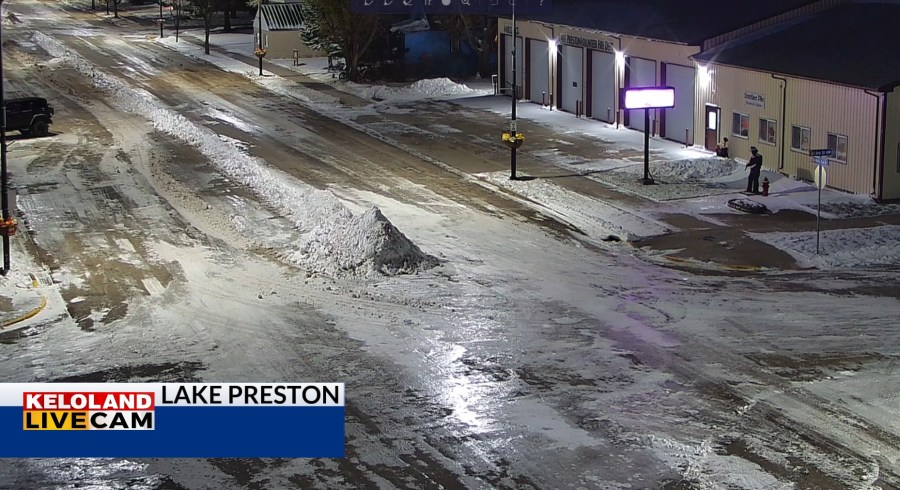
SIOUX FALLS S.D. (KELO) –The snow is gone from KELOLAND, but the snow piles will be hanging around for awhile with more chilly weather in the forecast. You can see the left-over snow on our Lake Preston LIVE CAM as of 6:30am.

The radar picture shows the snow leaving the region today and dry skies are expected the rest of the week.

The graphic below shows the highlighted areas that picked up the most snow, including Clark and Webster.

The forecast today and tomorrow will remain chilly with areas of clearing advancing eastward the next 12-18 hours.

What’s ahead for Thanksgiving week? A cold front could bring some light snow Sunday night and early Monday, along with some wind and colder weather. None of that is of any significant concern right now for KELOLAND. However, a more important period of “active” weather may arrive around Thanksgiving. We think the chance of snow will be tied to the movement of some very cold air in Canada. The timing is the big challenge, but the chance of accumulating snow falling at some point over the Thanksgiving weekend is better than 50/50 across our region. Stay tuned to the forecast and we’ll continue to give you more details in the days ahead.

Here are the details of the forecast.


