SIOUX FALLS, S.D. (KELO) — Scattered storms are in the forecast leading into the weekend. While rain is good news for western South Dakota, any lightning that develops may lead to potential problems because of the dry conditions.
It’s been a very dry summer in western South Dakota. In fact, the Rapid City airport is currently at its third driest summer with a little over 2.5 inches of rain since June 1. Those dry conditions are taking their toll on the area.
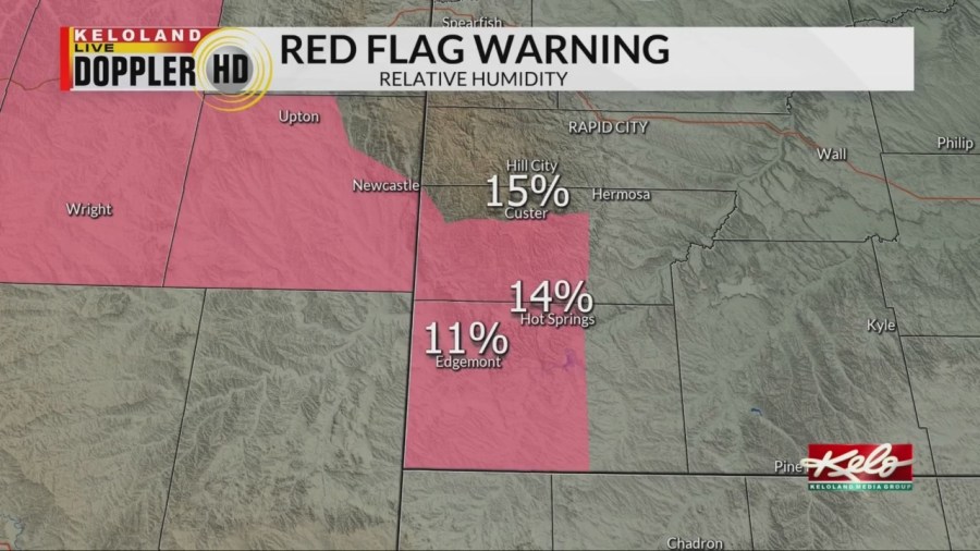
Red Flag Warnings covered extreme southwest South Dakota Wednesday due to the low humidity and strong winds. As you can see, the humidity values were projected in the low teens this afternoon.
Any storm clouds that can develop through the evening will have to be monitored for dry lightning. It’s an odd term but it happens when a storm produces lightning, but any rain that falls from the cloud evaporates before it reaches the ground. Unfortunately, any dry lightning strikes will have to be monitored for starting fires.
We’ll continue to watch for isolated storms in western South Dakota over the next several days, but the chance for widespread substantial rain remains slim.


