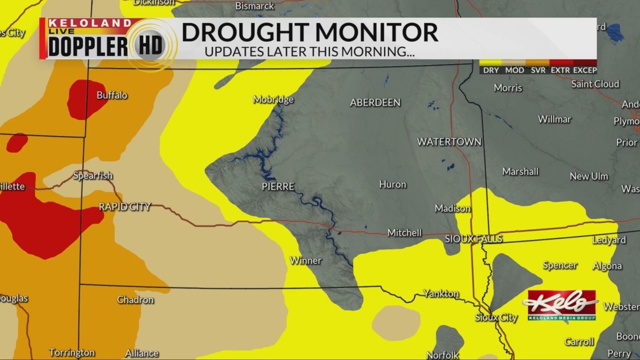
SIOUX FALLS, S.D. (KELO) — Dry weather across KELOLAND this past week is keeping drought conditions around.
Dry conditions, strong winds, and warm temperatures all have a hand in the high fire danger warning in central and western South Dakota today. We’ll focus on the dry conditions.
What you see is what you get when it comes to weather so far this month. Many have experienced warm and dry conditions, and it’s taking a toll on the landscape.
This is a look at the rain amounts over the past week. As you can see many locations are reporting a trace. Of course, there are areas in between that have recorded higher amounts but those areas are few and far between.
This is the latest drought monitor. It continues with the severe and extreme categories in the west. As you can see, the dry category is expanding in eastern KELOLAND.

As we continue the current weather pattern for the next week, I expect the drought to worsen across the area. But we are seeing signs of a more active pattern as we officially begin autumn.

