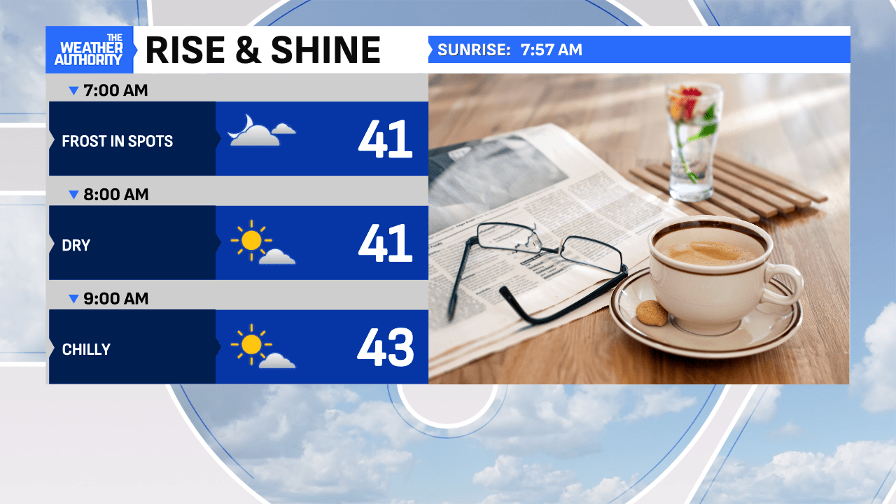
A chilly start this morning with patchy frost in spots, as temperatures have settled into the 30s, in many locations. A hard freeze is happening in our eastern counties, as skies are more clear and winds remain light through sunrise. Regardless of your location, grab a heavier coat to begin this Wednesday morning.


Expect thick clouds to remain in the mix today, as winds remain from the north at 6-12 mph. Unlike Tuesday, drier weather is expected this afternoon with only a limited shower for the northern counties of our area. Some sun will peek through at times but temperatures will remain well below average, in the middle 50s, roughly 10° below the seasonal average.

Heavy frost will threaten the area again tonight under clear skies and light winds.

Bright sun is back tomorrow and will take us right through the weekend with each day getting warmer! Enjoy…


