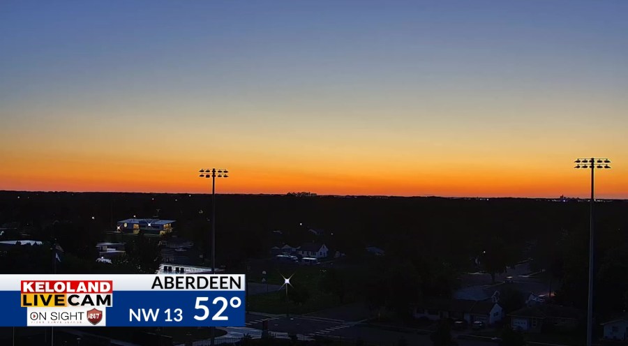
Good morning KELOLAND! It’s a clear and cool start to the morning in Aberdeen. Expect an early fall feel to the weather today as winds increase up to 30mph in that area of KELOLAND.

Our forecast headlines the next few days includes below normal temperatures. Rain chances will return by early next week.

Some of us were watching those scattered thundershowers last night around Sioux Falls.

The rain totals picked up southeast of Sioux Falls as you can see on the map below.

Here’s what is looked like on radar.

The rest of the 24 hours rainfall totals ending at 6am this morning are shown on this map.

The late evening satellite map shows the cumulus clouds as well.

For today, the rain chances are shifting into southwestern SD. You can can see that trend on the maps below.

Rain chances will be contained to much of southwestern SD today.

Futurecast shows the showers in the west and cool temperatures across the region. Highs will stay in the upper 60s in Aberdeen! Look for plenty of 40s too on the overnight lows.
The next round of rain will start Sunday in western and central KELOLAND. We’ll continue to monitor the track of that rain Sunday night and Monday into eastern KELOLAND. Temperatures will start warming early next week as the rain chances return.

Here are the details of the forecast.


