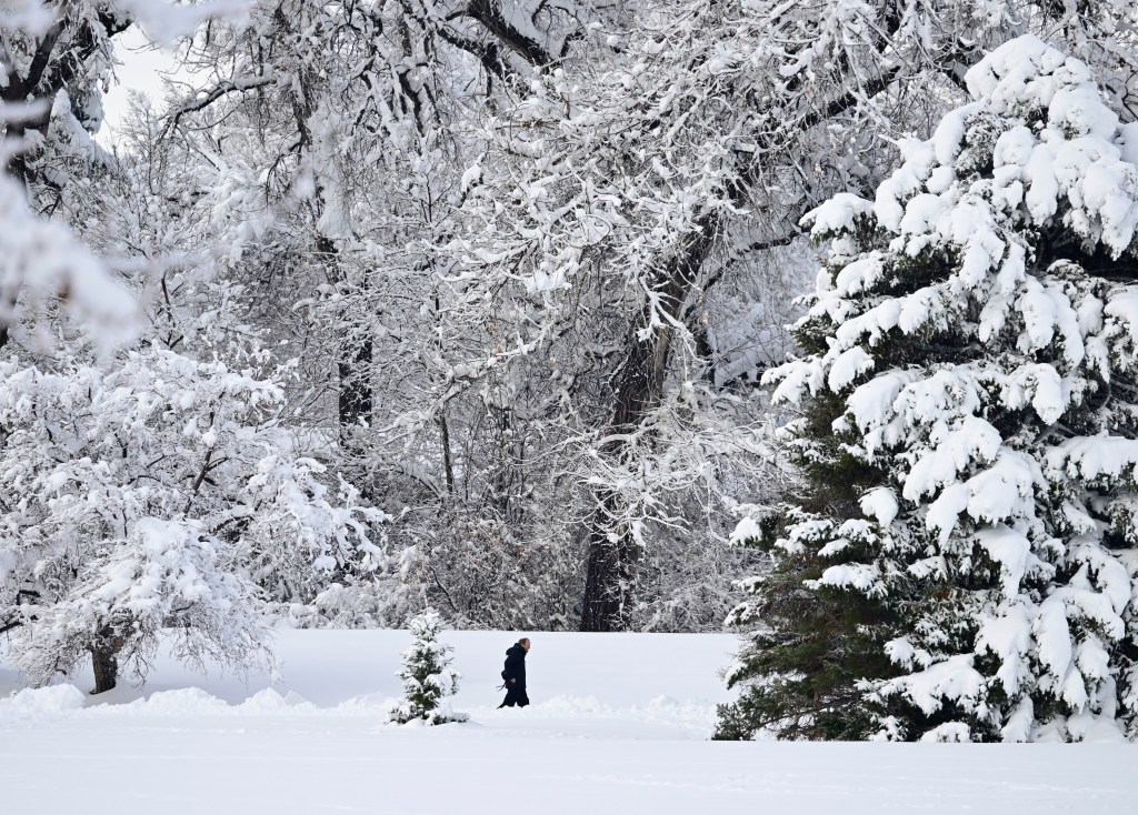
Snow continues to linger across Colorado’s mountain ranges on Sunday and the state’s rocky peaks could see another couple of inches stack up before the storm moves out, according to the National Weather Service.
Between 6 a.m. Sunday and 6 p.m. Monday, another 4 to 6 inches of fresh snow could fall on mountain passes above 9,000 feet — including Loveland Pass, Cumberland Pass, Independence Pass, Berthoud Pass, Eisenhower Tunnel and Wolf Creek Pass — according to NWS forecasters.
Areas above 10,000 feet, especially in southwestern Colorado’s San Juan Mountains, could see another 10 to 12 inches of snow Sunday, according to a Winter Storm Warning from NWS.
Since Friday, between 12 and 18 inches of snow have already fallen on the peaks of Colorado’s San Juan Mountains, according to a NWS snowfall map. Lower elevations also saw between 3 and 8 inches of snow during that time.
The Winter Storm Warning will remain in effect through 9 p.m. Sunday for the San Juan Mountains above 8,500 feet.
Snow showers will continue in the mountains Monday morning before coming to a stop in the afternoon, forecasters said.
In warmer, lower elevations, rain showers and thunderstorms will continue intermittently on Sunday and Monday before drying out on Tuesday, according to NWS forecasters.
Denver will see its rainest weather between 5 a.m. and noon on Monday, NWS forecasters said.
Get more Colorado news by signing up for our daily Your Morning Dozen email newsletter.


